Related Images


Download:
| Tiny | 164x128 | View | Download |
| Small | 329x256 | View | Download |
| Medium | 659x512 | View | Download |
| Large | 1318x1024 | View | Download |
| Original | 4544x3528 | View | Download |
This image was acquired from
wikimedia. It was marked as Public Domain or CC0 and is free to use. To verify, go to the source and check the information there.
Looking for more info about this image?
Try a Google Reverse Image Search for it.
Try a Google Reverse Image Search for it.
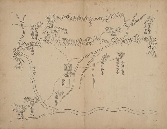
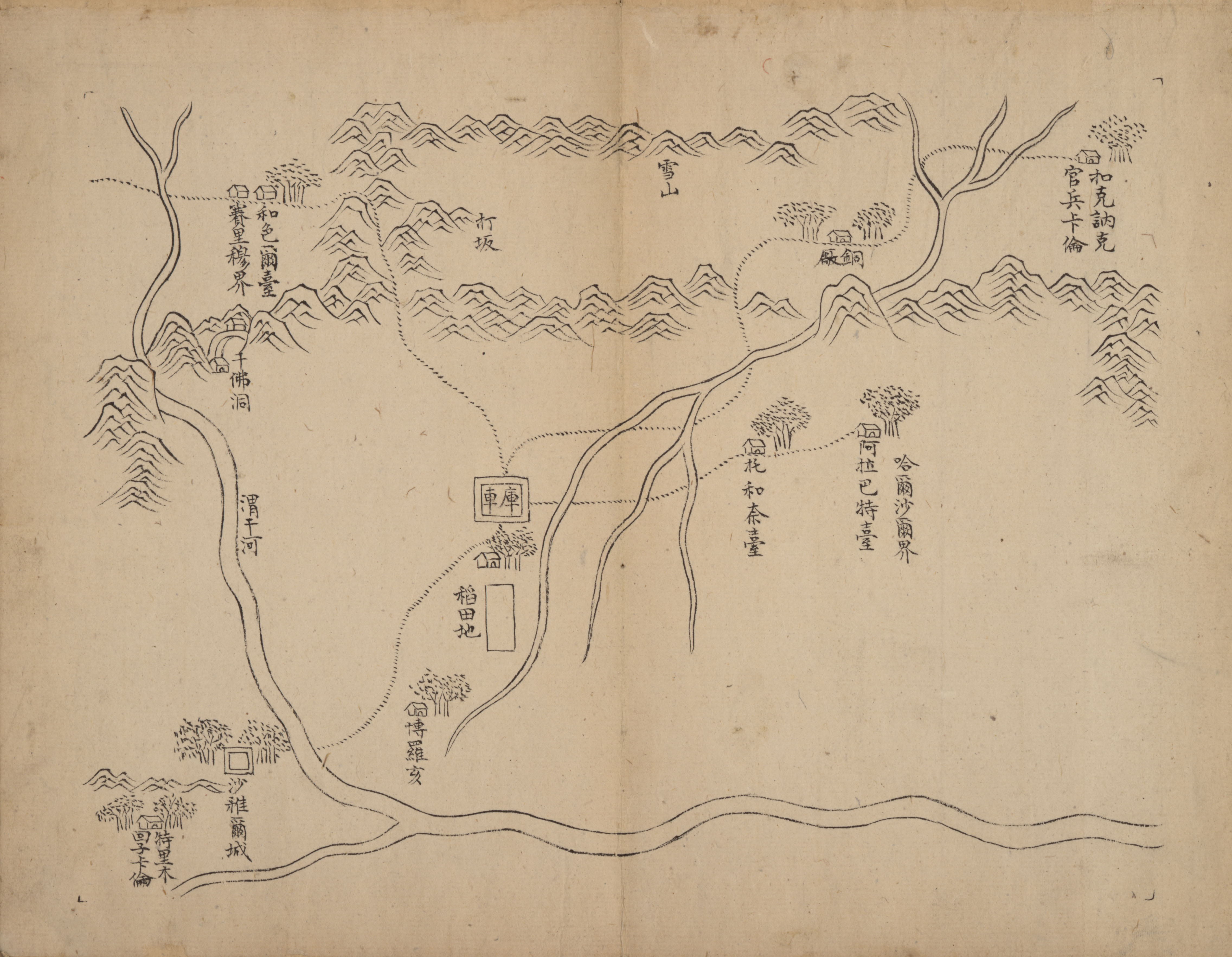
Keywords from Image Description:
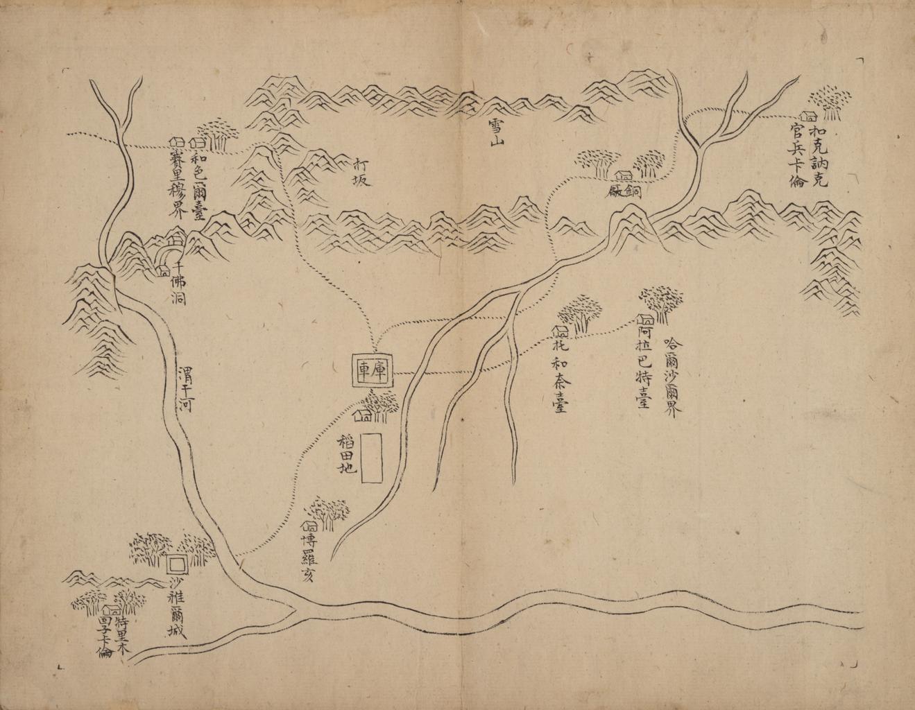
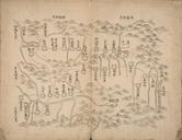
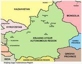
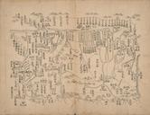
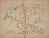
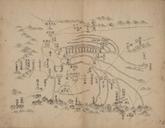
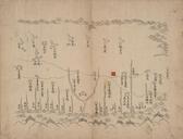
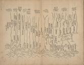
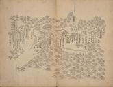
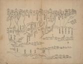
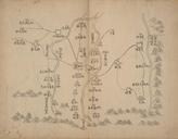
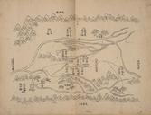
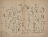
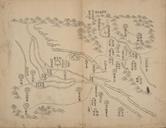
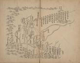
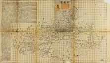
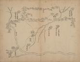
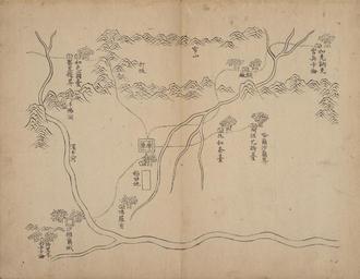
Xinjiang . Kucha Shows the topography cities villages and roads with the military posts in the Xinjiang Also shows the administrative system and local divisions of Xinjiang before the th year of Emperor Qianlong Not drawn to scale Relief shown pictorially zh LOCmap gxm gct gmd author PDUSGov Uploaded with Old maps of