Related Images


This image was acquired from
wikimedia. It was marked as Public Domain or CC0 and is free to use. To verify, go to the source and check the information there.
Looking for more info about this image?
Try a Google Reverse Image Search for it.
Try a Google Reverse Image Search for it.
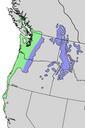
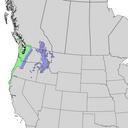
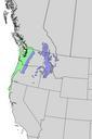
Keywords from Image Description:
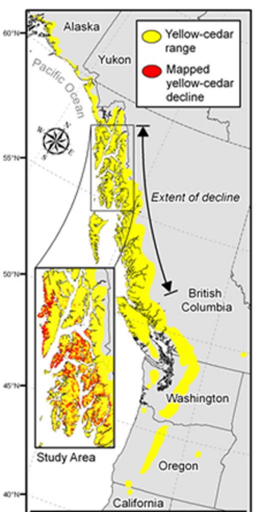
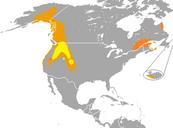
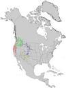
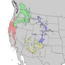
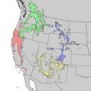
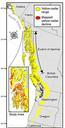
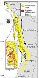
Yellowcedar range and decline map. en Map showing yellowcedar range and the areas of decline usfs gov Tongass National Forest District PDUSGov Uploaded with Uncategorized November