Download:
| Tiny | 148x128 | View | Download |
| Small | 297x256 | View | Download |
| Medium | 595x512 | View | Download |
| Original png | 638x549 | View | Download |
| Original as jpg | 638x549 | View | Download |
This image was acquired from
wikimedia. It was marked as Public Domain or CC0 and is free to use. To verify, go to the source and check the information there.
Looking for more info about this image?
Try a Google Reverse Image Search for it.
Try a Google Reverse Image Search for it.
Keywords from Image Description:
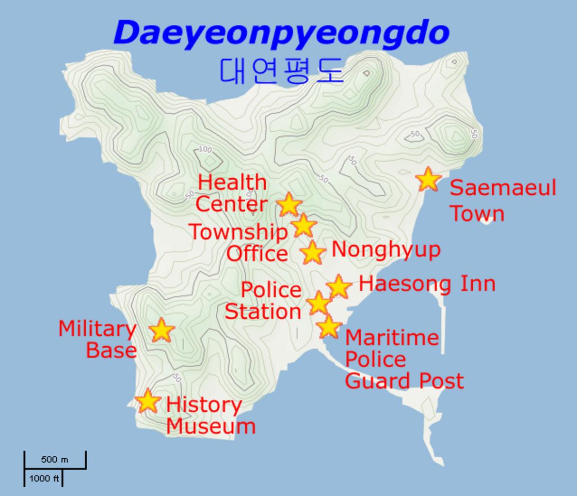
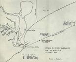
Yeonpyeong shelling locations. Map of the localities hit by the Yeonpyeong shelling of November Basic map is from OpenStreetMaps Cycle Map layer localities data is from joins asp aid Prioryman talk OpenStreetMap maps Maps of South Korea Shelling of Yeonpyeong
