Related Images


Download:
| Tiny | 203x128 | View | Download |
| Small | 406x256 | View | Download |
| Medium | 813x512 | View | Download |
| Large | 1627x1024 | View | Download |
| Original png | 2103x1323 | View | Download |
| Original as jpg | 2103x1323 | View | Download |
This image was acquired from
wikimedia. It was marked as Public Domain or CC0 and is free to use. To verify, go to the source and check the information there.
Looking for more info about this image?
Try a Google Reverse Image Search for it.
Try a Google Reverse Image Search for it.
Keywords from Image Description:
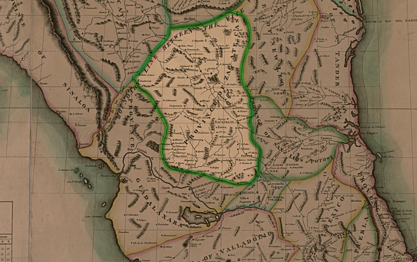
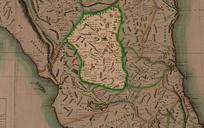
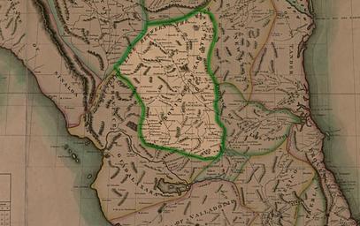
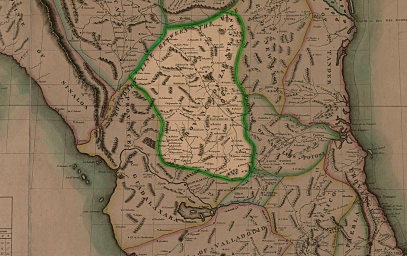
Zacatecas. en Map of Mexico Lousiana and missouri territory by John Robinson es Map de Mexico Lousiana missouri por John Robinson Mapa de Mexico Lousiana and missouri territory John Robinson Fragmento del mapa que muestra la provincia de Zacatecas PDold Maps of Aguascalientes