
Related Images


Download:
| Tiny | 363x128 | View | Download |
| Small | 726x256 | View | Download |
| Medium | 1453x512 | View | Download |
| Large | 2906x1024 | View | Download |
| Original | 3000x1057 | View | Download |
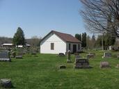
This image was acquired from
wikimedia. It was marked as Public Domain or CC0 and is free to use. To verify, go to the source and check the information there.
Looking for more info about this image?
Try a Google Reverse Image Search for it.
Try a Google Reverse Image Search for it.
Keywords from Image Description:
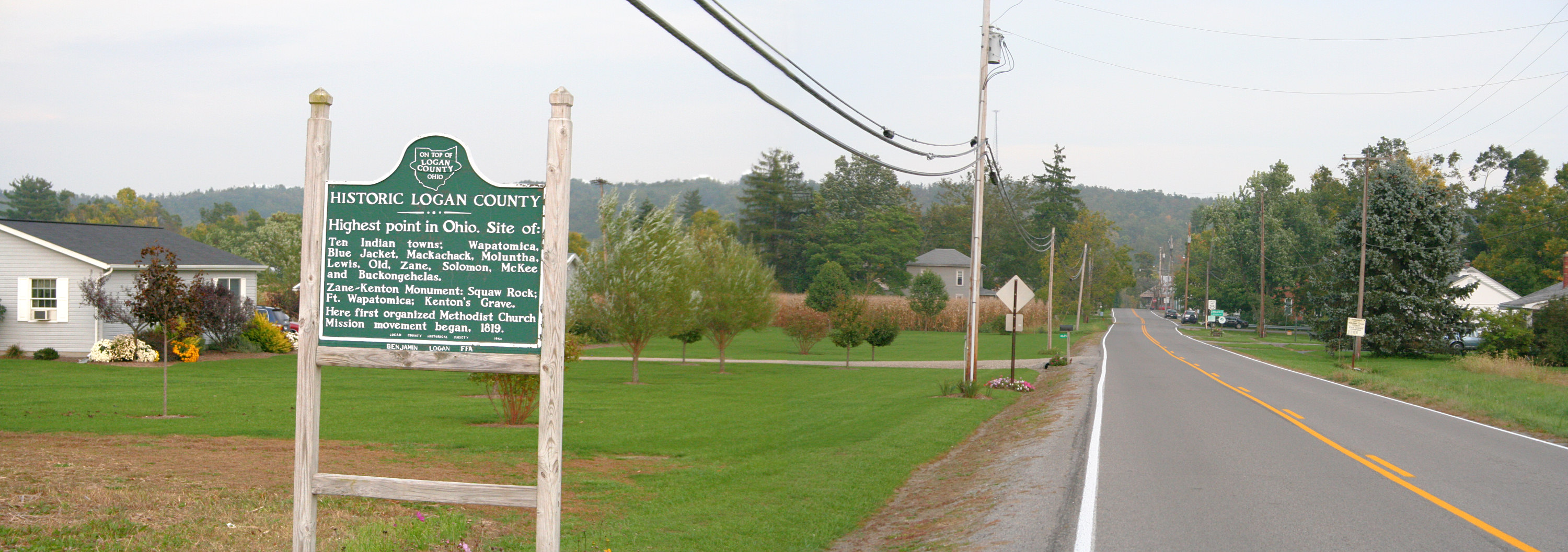
Zanesfieldohiolimits. City limits of Zanesfield Ohio Photo shot by Derek Jensen Tysto October The plaque says HISTORIC LOGAN COUNTY Highest point in Ohio Site of Ten Indian towns Wapatomica Blue Jacket Mackachak Maluntha Lewis Old Zane Solomon McKee and Buckongehelas ZaneKenton Monument Squaw Rock Fort Wapatomica Kenton's Grave