Related Images


Download:
| Tiny | 97x128 | View | Download |
| Small | 195x256 | View | Download |
| Medium | 390x512 | View | Download |
| Large | 780x1024 | View | Download |
| Original | 1018x1335 | View | Download |
This image was acquired from
wikimedia. It was marked as Public Domain or CC0 and is free to use. To verify, go to the source and check the information there.
Looking for more info about this image?
Try a Google Reverse Image Search for it.
Try a Google Reverse Image Search for it.
Keywords from Image Description:
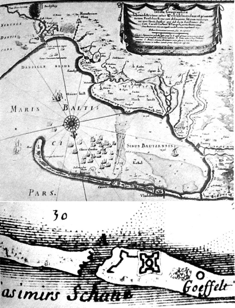
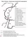
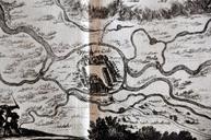
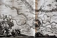
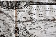
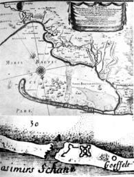
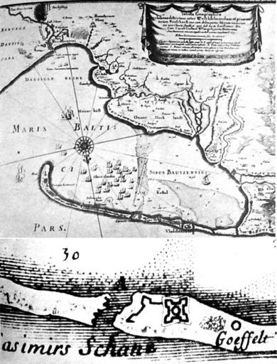
ZatokaPuckaXVIIwiekKazimierzowo. Dahlberga na podstawie mapy Getkanta opublikowana Norymberdze roku opracowaniu Samuela von Pufendorfa pt De rebus de Carolo Gustavo gestis str tabl poniej mapy Zatoki jej fragment obejmujcy cz dzisiejszej Mierzei Helskiej wwczas by to szereg wysp czterobastionowym fortem Kazimierzowo Casimirs