Related Images


Download:
| Tiny | 208x128 | View | Download |
| Small | 416x256 | View | Download |
| Medium | 832x512 | View | Download |
| Large | 1665x1024 | View | Download |
| Original tiff | 3645x2241 | View | Download |
| Original as jpg | 3645x2241 | View | Download |
This image was acquired from
wikimedia. It was marked as Public Domain or CC0 and is free to use. To verify, go to the source and check the information there.
Looking for more info about this image?
Try a Google Reverse Image Search for it.
Try a Google Reverse Image Search for it.
Keywords from Image Description:
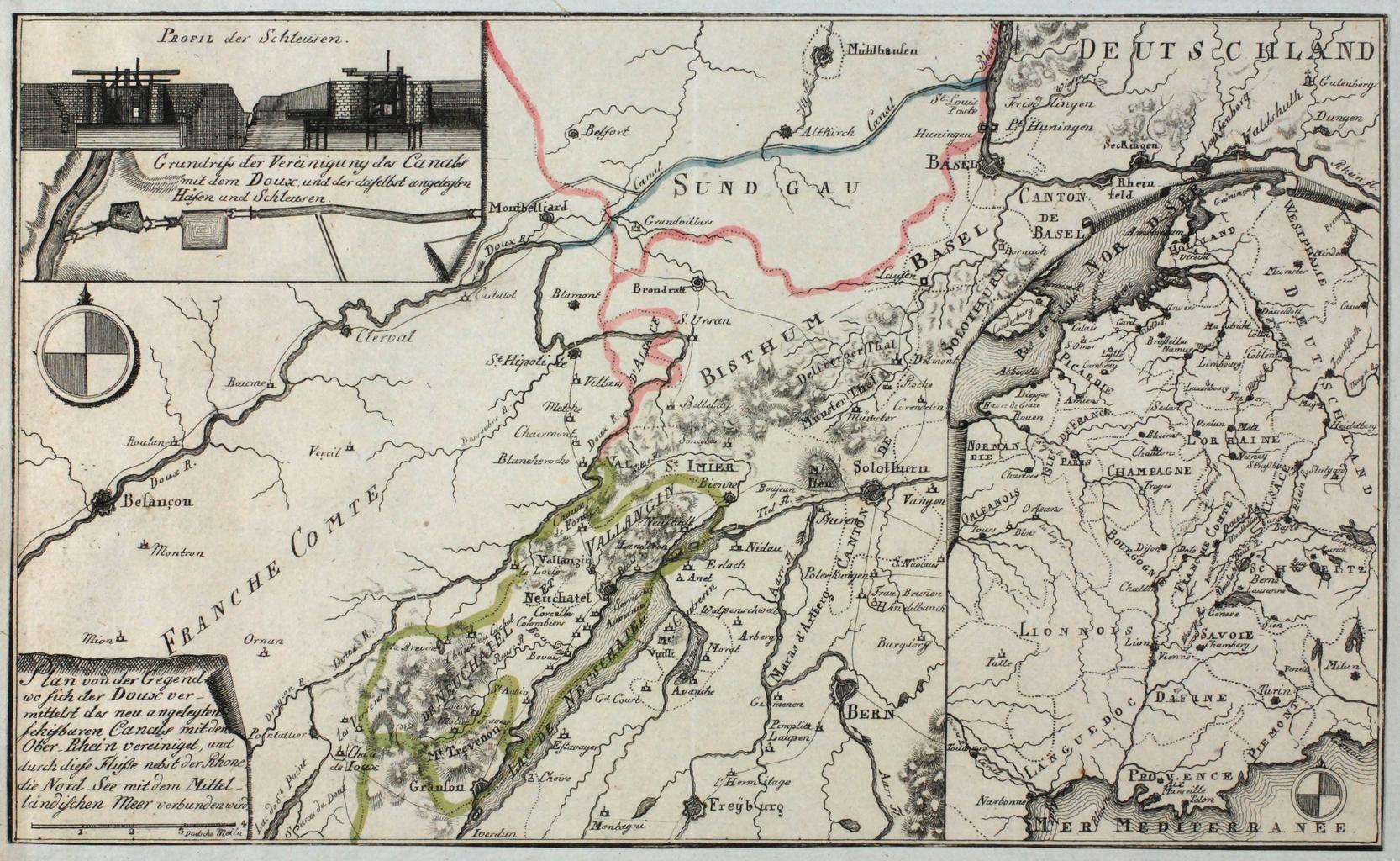
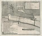
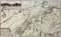
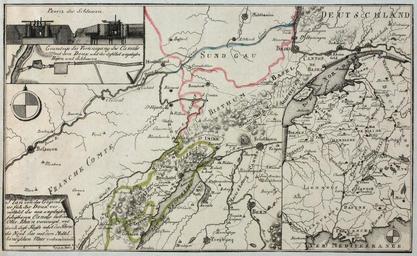
Zentralbibliothek Solothurn Plan von der Gegend wo sich der Doux ver mittelst des neu angelegten schiffbaren Canals mit dem OberRhein vereinigt und durch diese Flsse nebst der Rhone die NordSee mit dem Mittel a.tif Karte von der Franche Comt Neuchtels dem Sundgau dem Bistum Basel Deutschlands mit drei dargestellten Aufliegerblttern