Download:
| Tiny | 187x128 | View | Download |
| Small | 374x256 | View | Download |
| Medium | 749x512 | View | Download |
| Large | 1498x1024 | View | Download |
| Original | 4961x3390 | View | Download |
This image was acquired from
wikimedia. It was marked as Public Domain or CC0 and is free to use. To verify, go to the source and check the information there.
Looking for more info about this image?
Try a Google Reverse Image Search for it.
Try a Google Reverse Image Search for it.
Keywords from Image Description:
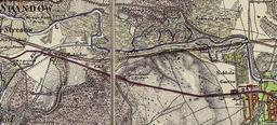
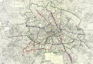
ZLBBerliner AnsichtenJuni. Map for calculating the value of ground and floor in the southwest suburbs of Berlin Scanned by the Zentral und Landesbibliothek Berlin ZLB use under Public Domain allowed Die Karte muss zwischen und angefertigt worden sein da die Neue Wannseebahn bereits in Betrieb ist die Straenbahn in der Wilhelmstrae


