
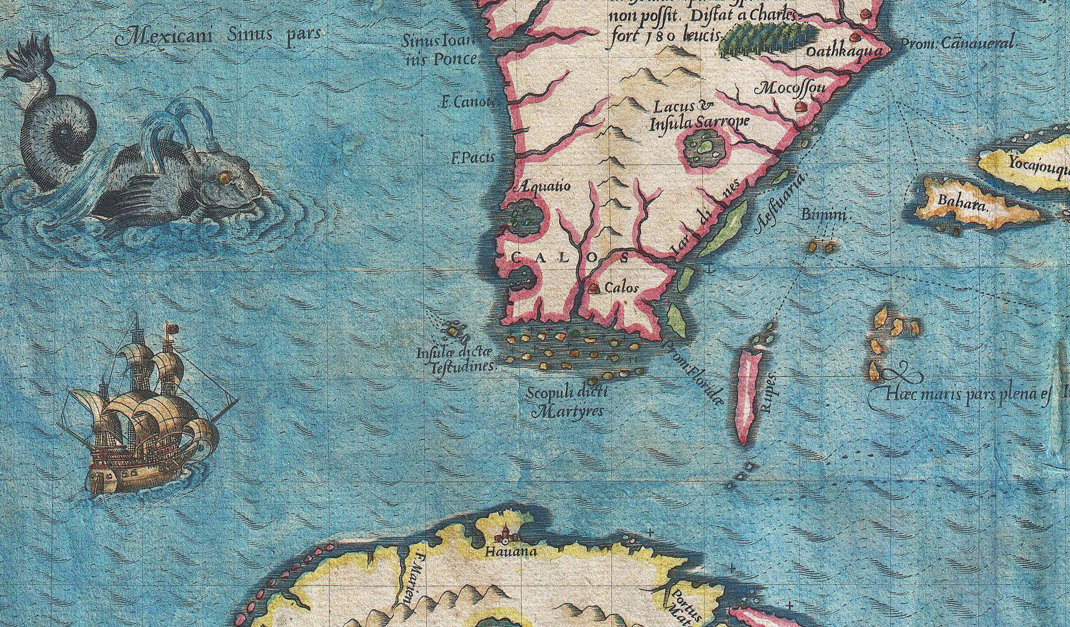
Related Images


Download:
| Tiny | 218x128 | View | Download |
| Small | 436x256 | View | Download |
| Medium | 873x512 | View | Download |
| Large | 1746x1024 | View | Download |
| Original | 2118x1242 | View | Download |
This image was acquired from
wikimedia. It was marked as Public Domain or CC0 and is free to use. To verify, go to the source and check the information there.
Looking for more info about this image?
Try a Google Reverse Image Search for it.
Try a Google Reverse Image Search for it.
Keywords from Image Description:
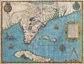
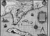
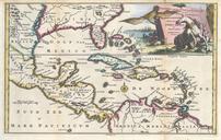
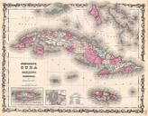
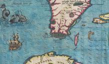
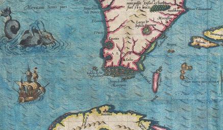
De Bry and Le Moyne Map of Florida and Cuba Geographicus Floridadebry part. the most remarkable and important map which has been preserved from the sixteenth century maps of that part of the East Coast which lies between Cape Hatteras and Cape Florida the first French map to show Florida considered the most important map of