
Related Images


Download:
| Tiny | 218x128 | View | Download |
| Small | 437x256 | View | Download |
| Medium | 875x512 | View | Download |
| Large | 1750x1024 | View | Download |
| Original | 6000x3509 | View | Download |
This image was acquired from
wikimedia. It was marked as Public Domain or CC0 and is free to use. To verify, go to the source and check the information there.
Looking for more info about this image?
Try a Google Reverse Image Search for it.
Try a Google Reverse Image Search for it.
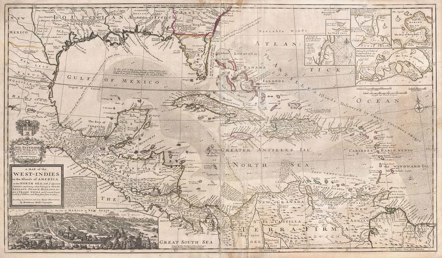
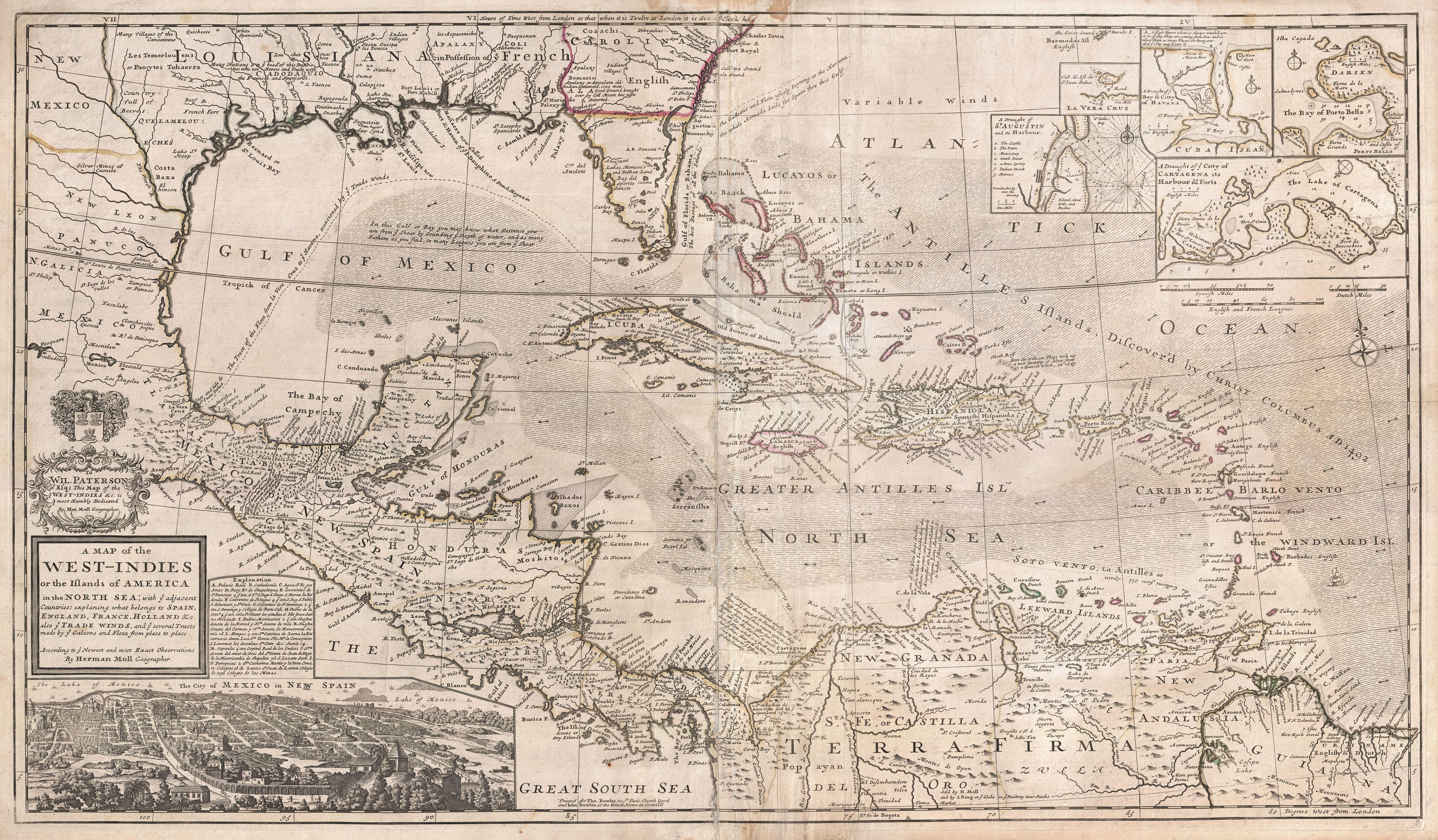
Keywords from Image Description:
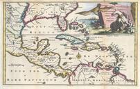
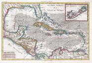
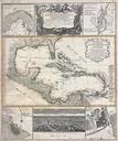
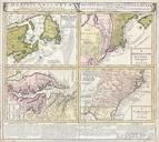
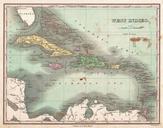
Herman Moll Map of the West Indies Florida Mexico and the Caribbean Geographicus WestIndiesmoll. Artwork of the sailing routes and currents Moll provides insets of five important Spanish ports including St Augustine Veracruz Havana Porto Bella and Cartagena As privateer fleets grew in strength and number in the early th century