
Related Images


This image was acquired from
wikimedia. It was marked as Public Domain or CC0 and is free to use. To verify, go to the source and check the information there.
Looking for more info about this image?
Try a Google Reverse Image Search for it.
Try a Google Reverse Image Search for it.
Keywords from Image Description:
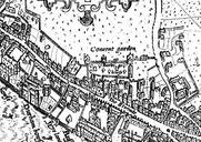
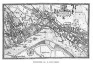
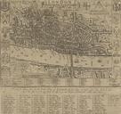
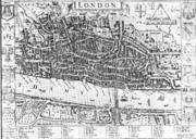
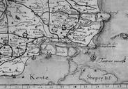
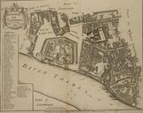
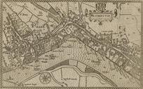
Norden's map of Westminster surveyed and publ . Norden's map of Westminster surveyed and published From the Crace Collection at the British Library The Strand which is the main road on the right hand side of the map was in its heyday as the favoured residence of the elite of the English aristocracy and several of the major mansions