Related Images


This image was acquired from
wikimedia. It was marked as Public Domain or CC0 and is free to use. To verify, go to the source and check the information there.
Looking for more info about this image?
Try a Google Reverse Image Search for it.
Try a Google Reverse Image Search for it.
Keywords from Image Description:
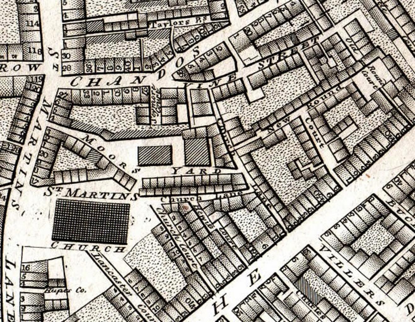
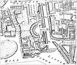
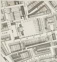
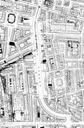
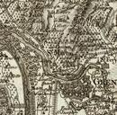
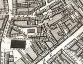
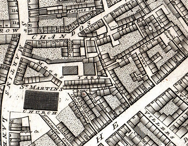
Horwood map St Martins Westminster. en Detail of Horwood's plan of Westminster showing St Martin's in the Fields and Round Court oldlondonmaps html Richard Horwood Plan of the Cities of London and Westminster scan oldlondonmaps Old maps of London Maps of the City of Westminster St MartinintheFields PDold