
Related Images


Download:
| Tiny | 165x128 | View | Download |
| Small | 331x256 | View | Download |
| Medium | 662x512 | View | Download |
| Large | 1325x1024 | View | Download |
| Original | 6272x4845 | View | Download |
This image was acquired from
wikimedia. It was marked as Public Domain or CC0 and is free to use. To verify, go to the source and check the information there.
Looking for more info about this image?
Try a Google Reverse Image Search for it.
Try a Google Reverse Image Search for it.
Keywords from Image Description:
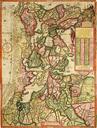
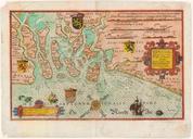
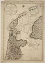
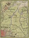
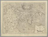
Kaart van Holland en Utrecht. nl Kaart van Holland en Utrecht Op de achterzijde staat Franse tekst hetgeen er op wijst dat de kaart afkomstig is uit een Franse editie van de MercatorHondius Atlas Deze atlas werd oorspronkelijk door Gerard Mercator samengesteld en uitgegeven te Duisburg in naderhand werd de uitgave door Hondius