
Related Images


Download:
| Tiny | 160x128 | View | Download |
| Small | 320x256 | View | Download |
| Medium | 640x512 | View | Download |
| Large | 1280x1024 | View | Download |
| Original | 6412x5129 | View | Download |
This image was acquired from
wikimedia. It was marked as Public Domain or CC0 and is free to use. To verify, go to the source and check the information there.
Looking for more info about this image?
Try a Google Reverse Image Search for it.
Try a Google Reverse Image Search for it.
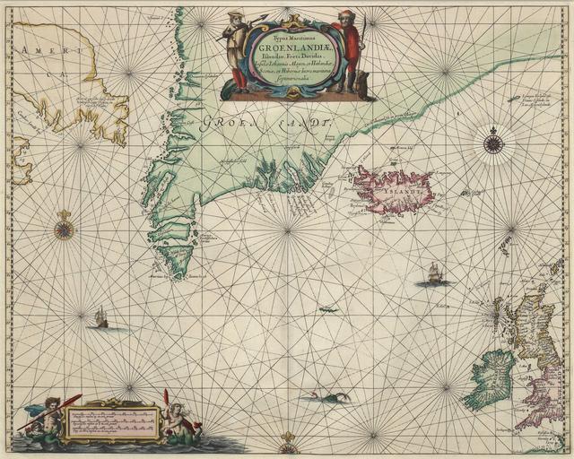
Keywords from Image Description:
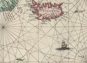
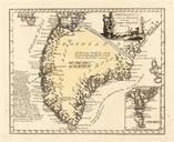
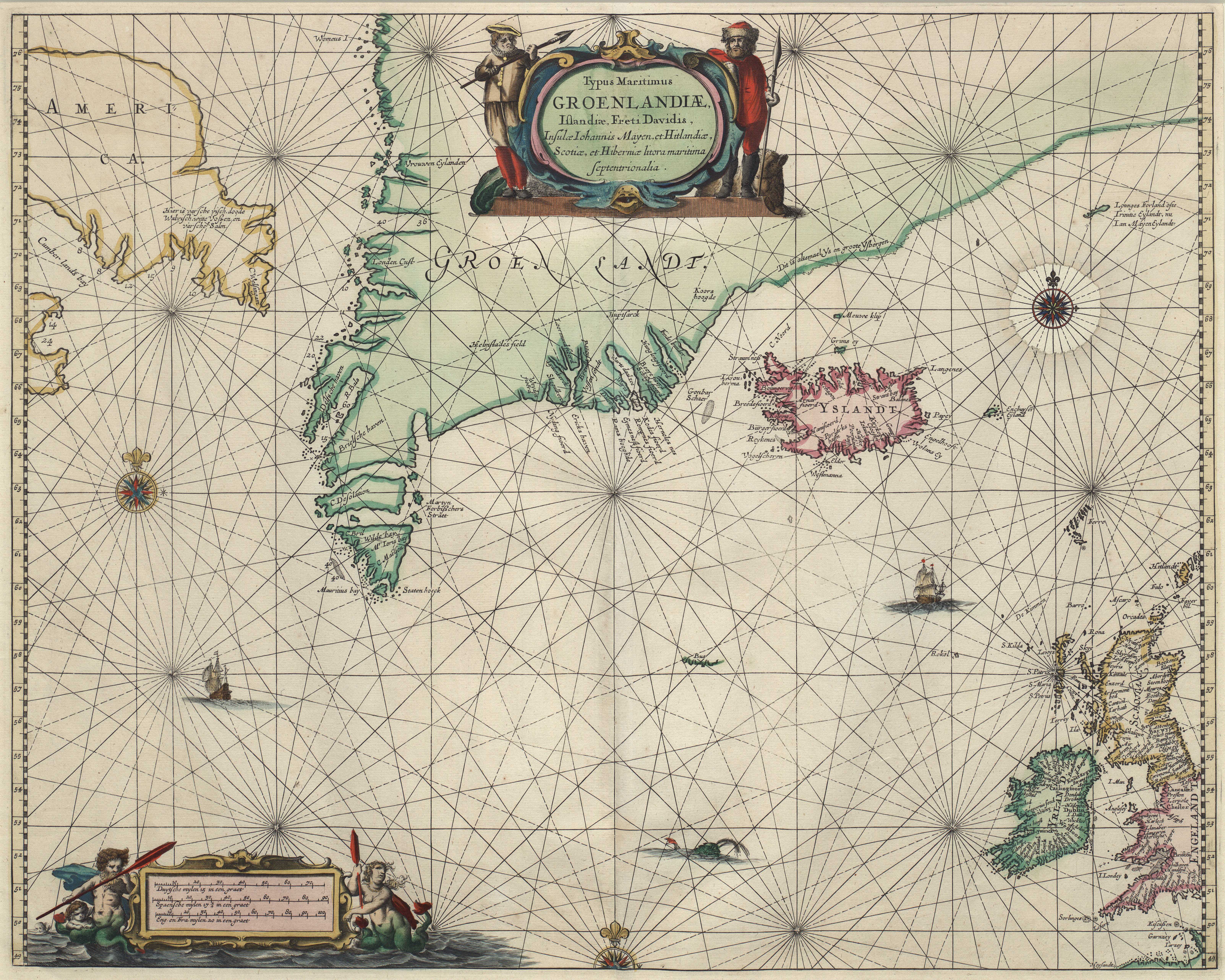
Johannes Janssonius map Northern Atlantic Greenland. Typus Maritimus Groenlandi Islandi Freti Davidis Insul Iohannis Mayen et Hitlandi Scoti et Hiberni litora maritima septentrionalia de Portolankarte von Jan Janssen zeigt den Nordatlatik und die DavisStrae samt angrenzenden Lndern en Portolan map by Jan Janssen shows Northern Atlantic