Related Images


Download:
| Tiny | 153x128 | View | Download |
| Small | 306x256 | View | Download |
| Medium | 613x512 | View | Download |
| Large | 1227x1024 | View | Download |
| Original | 5000x4172 | View | Download |
This image was acquired from
wikimedia. It was marked as Public Domain or CC0 and is free to use. To verify, go to the source and check the information there.
Looking for more info about this image?
Try a Google Reverse Image Search for it.
Try a Google Reverse Image Search for it.
Keywords from Image Description:
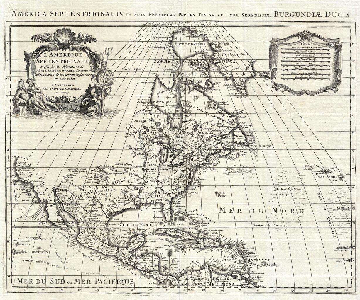
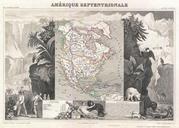
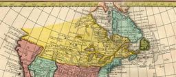
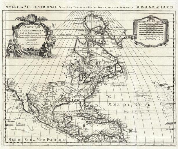
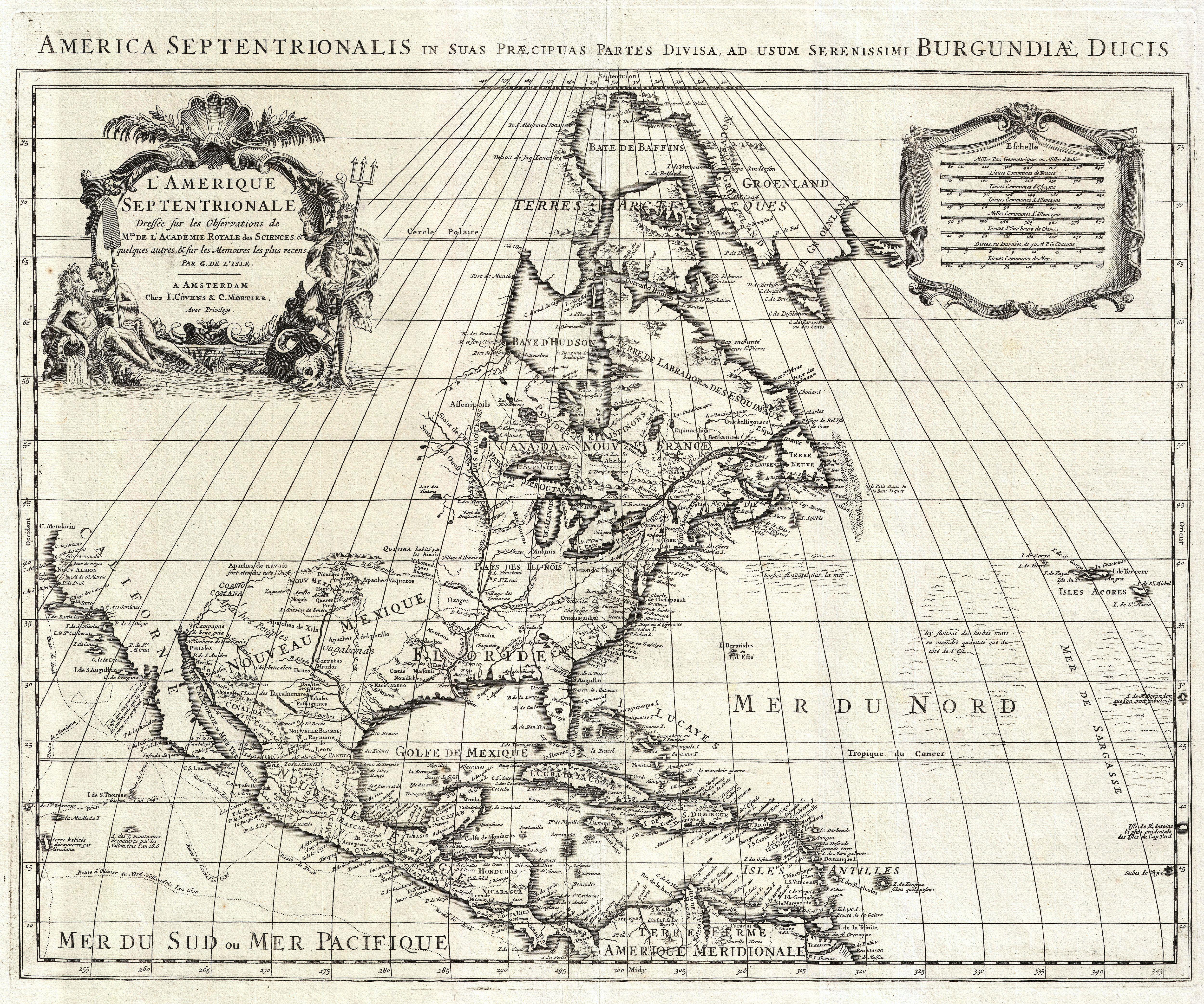
De L'Isle Map of North America Covens and Mortier ed. Geographicus AmeriqueSeptentrionalecovensmortier. An extraordinary map this is Covens and Mortier reissue of De Isle landmark mapping of North America Covers the continent of North America from the Baffin Bay southwards as far as the Spanish Main westwards to Cape Mendocino