Related Images


Download:
| Tiny | 160x128 | View | Download |
| Small | 321x256 | View | Download |
| Medium | 642x512 | View | Download |
| Large | 1285x1024 | View | Download |
| Original | 5000x3982 | View | Download |
This image was acquired from
wikimedia. It was marked as Public Domain or CC0 and is free to use. To verify, go to the source and check the information there.
Looking for more info about this image?
Try a Google Reverse Image Search for it.
Try a Google Reverse Image Search for it.
Keywords from Image Description:
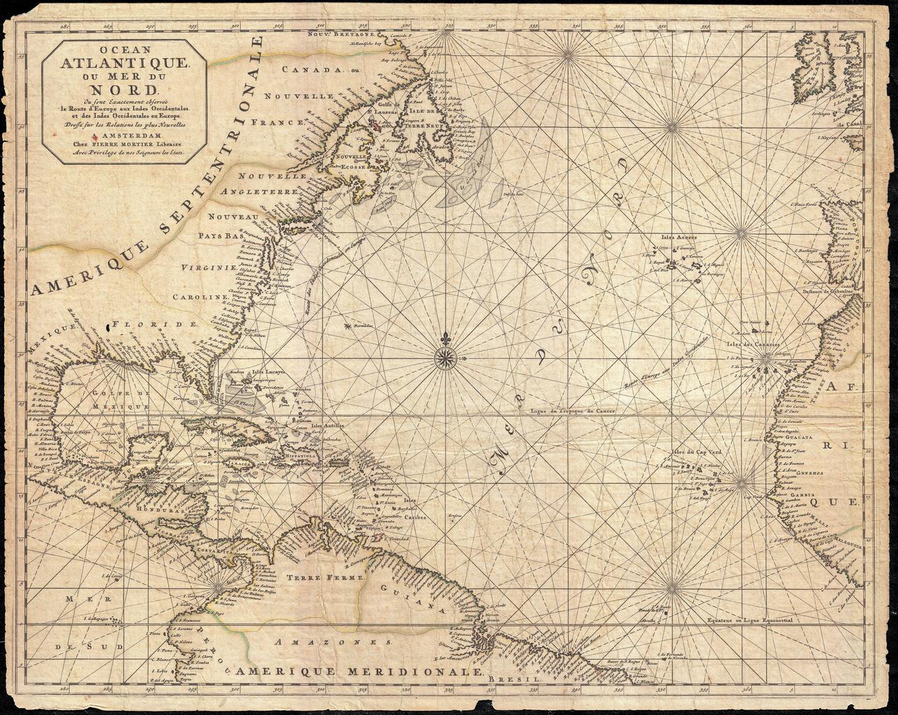
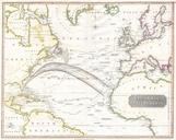
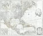
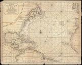
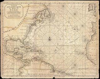
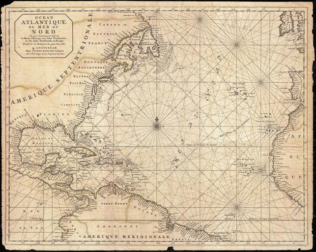
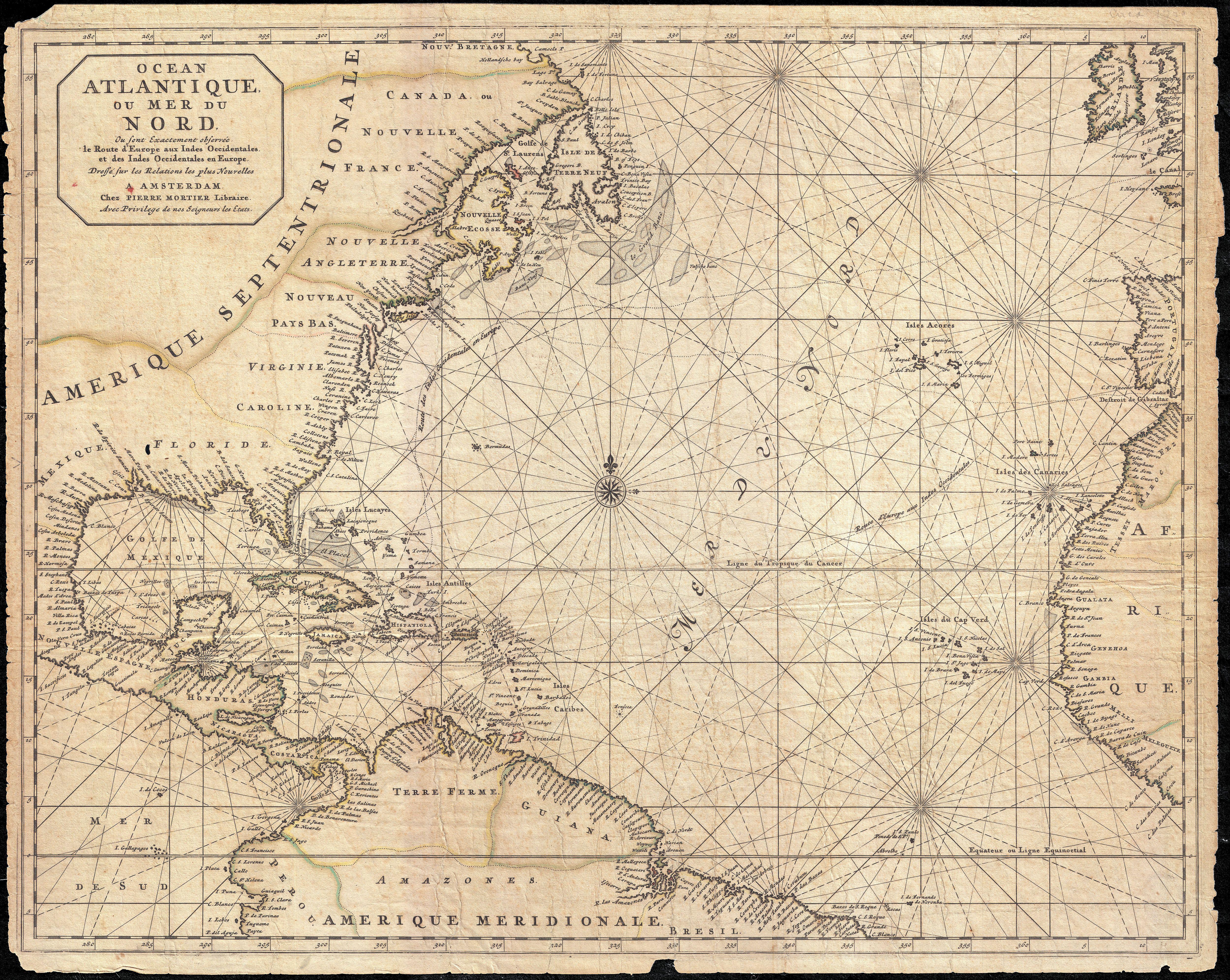
Mortier Map of North America the West Indies and the Atlantic Ocean Geographicus Atlantiquemortier. This is rare and remarkable nautical chart of the Atlantic Ocean by Pierre Mortier Covers the North Atlantic from rough degree south latitude to roughly degrees north latitude Includes much of North America all of the West Indies