Related Images


This image was acquired from
wikimedia. It was marked as Public Domain or CC0 and is free to use. To verify, go to the source and check the information there.
Looking for more info about this image?
Try a Google Reverse Image Search for it.
Try a Google Reverse Image Search for it.
Keywords from Image Description:
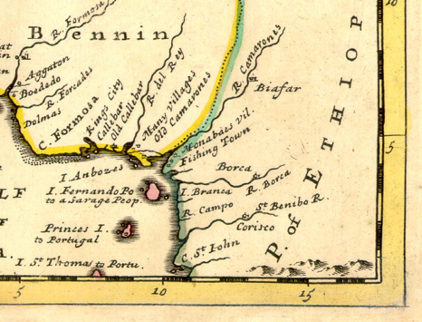
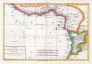
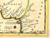
West Africa map Cameroon Nigeria. Detail showing the Bight of Biafra from map by Herman Moll showing NEGROLAND and GUINEA With the European Settlements Explaining what belongs to England Holland Denmark etc Atlas Minor originally published in cm Published in London The map shows the area from the Tropic of Cancer to Cameroon