Related Images

Download:
| Tiny | 184x128 | View | Download |
| Small | 368x256 | View | Download |
| Medium | 737x512 | View | Download |
| Original png | 1061x737 | View | Download |
| Original as jpg | 1061x737 | View | Download |
This image was acquired from
wikimedia. It was marked as Public Domain or CC0 and is free to use. To verify, go to the source and check the information there.
Looking for more info about this image?
Try a Google Reverse Image Search for it.
Try a Google Reverse Image Search for it.
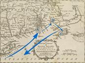
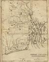
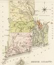
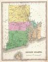
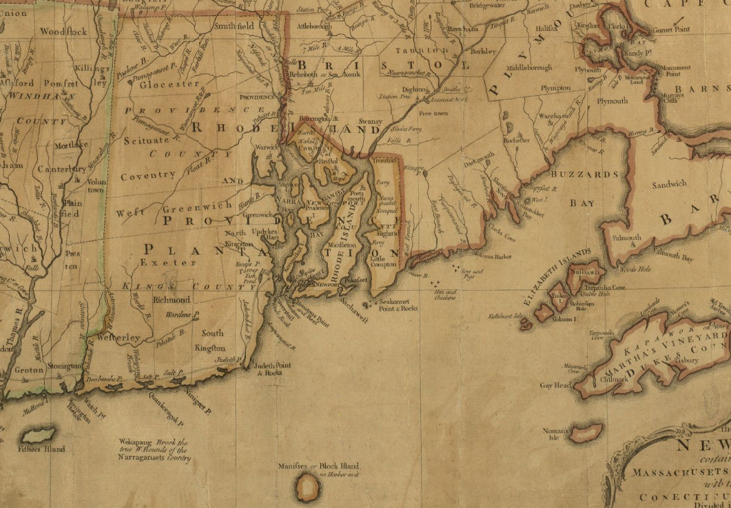
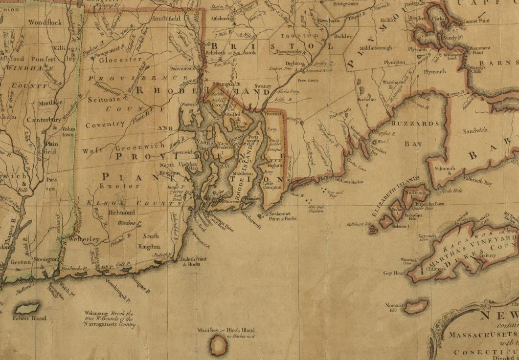
Keywords from Image Description:
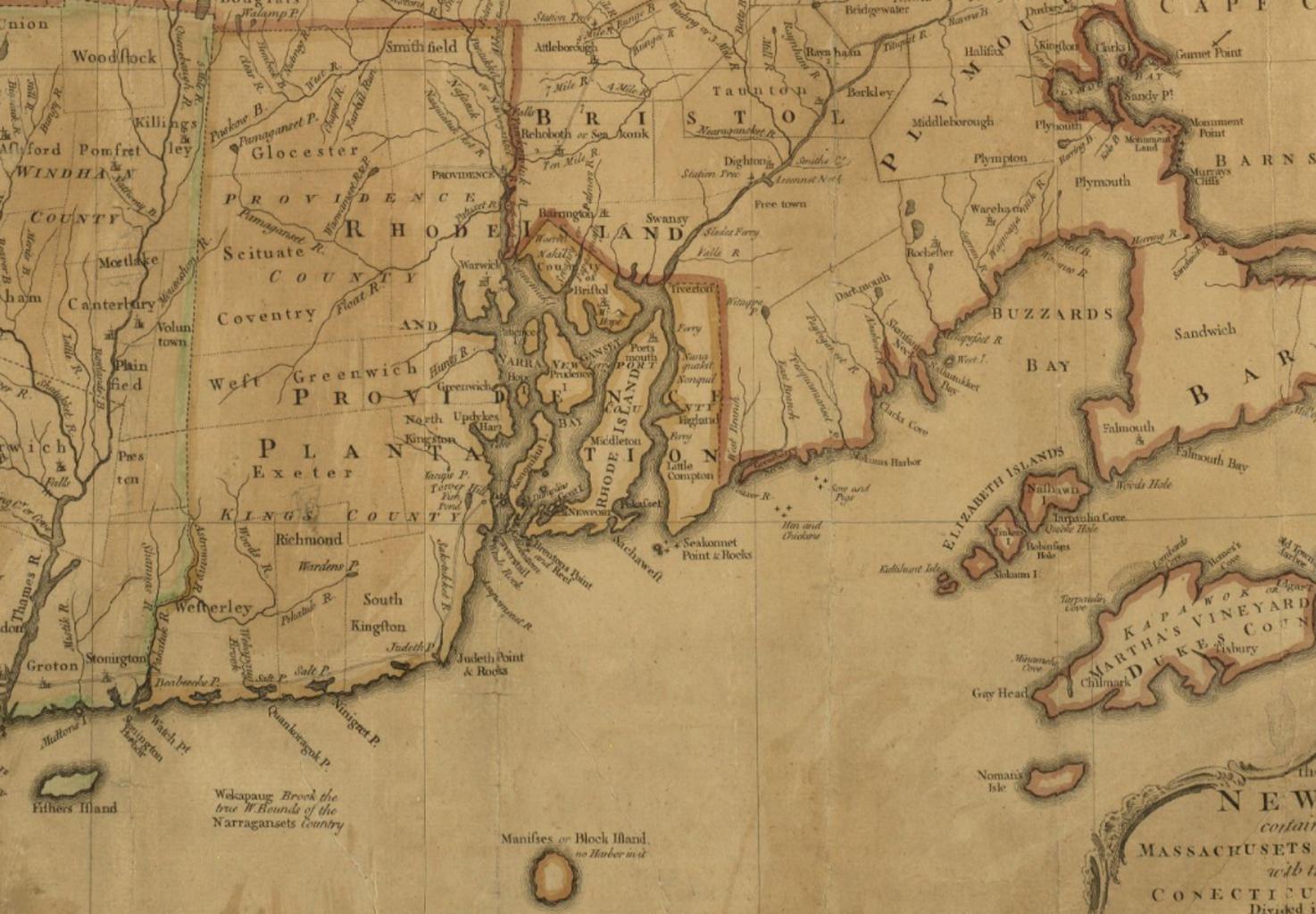
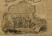
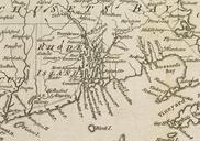
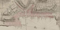
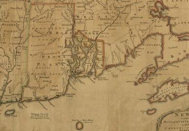
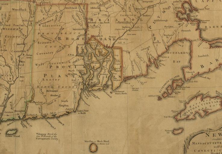
Rhode Island detail of map byJohnGreen BPL . Detail from map of the most inhabited part of New England containing the provinces of Massachusets Bay and New Hampshire with the colonies of Conecticut and Rhode Island Author Green John Publisher Jefferys Thomas Date Location New England Dimension cm bpl org John Green PDold Rhode