
Related Images


Download:
| Tiny | 181x128 | View | Download |
| Small | 362x256 | View | Download |
| Medium | 725x512 | View | Download |
| Original png | 1063x750 | View | Download |
| Original as jpg | 1063x750 | View | Download |
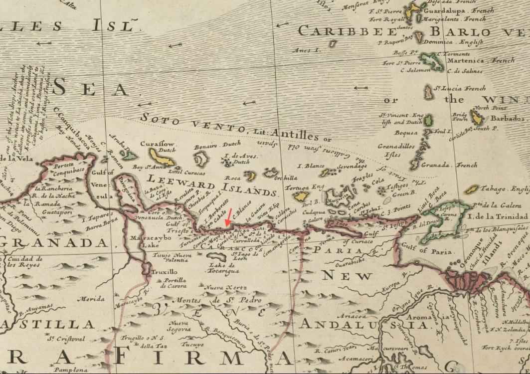
This image was acquired from
wikimedia. It was marked as Public Domain or CC0 and is free to use. To verify, go to the source and check the information there.
Looking for more info about this image?
Try a Google Reverse Image Search for it.
Try a Google Reverse Image Search for it.
Keywords from Image Description:
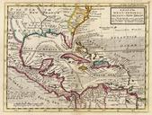
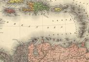
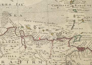
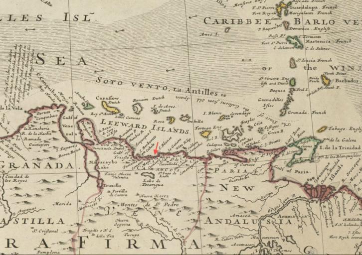
Caraccos detail Map of the WestIndies by Herman Moll BPL . Detail of map of the WestIndies or the islands of America in the North Sea with ye adjacent countries explaning what belongs to Spain England France Holland Author Moll Herman Date Scale ca Boston Public Library Map Center Boston Massachusetts USA bpl org Creator