
Related Images

Download:
| Tiny | 175x128 | View | Download |
| Small | 350x256 | View | Download |
| Medium | 701x512 | View | Download |
| Large | 1403x1024 | View | Download |
| Original | 5000x3649 | View | Download |
This image was acquired from
wikimedia. It was marked as Public Domain or CC0 and is free to use. To verify, go to the source and check the information there.
Looking for more info about this image?
Try a Google Reverse Image Search for it.
Try a Google Reverse Image Search for it.
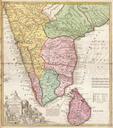
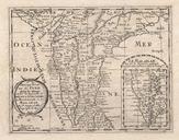
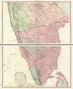
Keywords from Image Description:
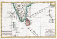
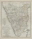
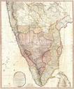
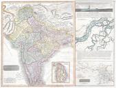
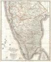
Mannevillette Map of Southern India and Ceylon or Sri Lanka Geographicus CeylonIndiamannevillette. An extremely attractive large format maritime map or nautical chart of southern India and Ceylon by JeanBaptiste d'Aprs de Mannevillette This chart covers the southern tip of India including the Malabar and Coromandel coasts as