
Related Images


Download:
| Tiny | 170x128 | View | Download |
| Small | 341x256 | View | Download |
| Medium | 682x512 | View | Download |
| Large | 1365x1024 | View | Download |
| Original | 3456x2592 | View | Download |
This image was acquired from
wikimedia. It was marked as Public Domain or CC0 and is free to use. To verify, go to the source and check the information there.
Looking for more info about this image?
Try a Google Reverse Image Search for it.
Try a Google Reverse Image Search for it.
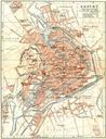
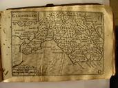
Keywords from Image Description:
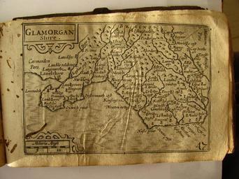
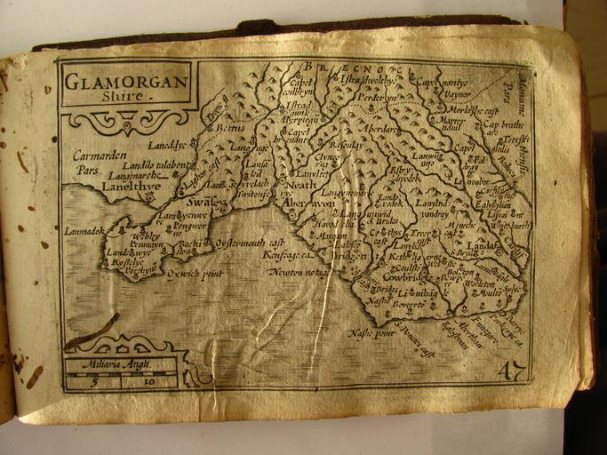
th Century map of Glamorganshire. en Map from the Miniature Speed Atlas of England Sotland Ireland and Wales with maps by Pieter van den Keere Photograph taken mby me the atlas owned by me own Seriykotik Public Domain Wales in the th century Miniature Speed Atlas Pieter van den Keere Pieter van der Keere Old county maps of Glamorgan