
Related Images


Download:
| Tiny | 113x128 | View | Download |
| Small | 226x256 | View | Download |
| Medium | 452x512 | View | Download |
| Large | 905x1024 | View | Download |
| Original | 3000x3394 | View | Download |
This image was acquired from
wikimedia. It was marked as Public Domain or CC0 and is free to use. To verify, go to the source and check the information there.
Looking for more info about this image?
Try a Google Reverse Image Search for it.
Try a Google Reverse Image Search for it.
Keywords from Image Description:
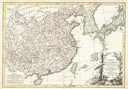
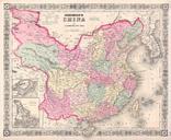
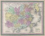
Thomson Map of China and Formosa Taiwan Geographicus Chinat. This fascinating hand colored map by Edinburgh cartographer John Thomson depicts China Shows the Great Wall of China as the northern boundary Extends as far west as the Tibetan plateau and as far south as the old Vietnamese Kingdom of Tonkin or Tungouin as labeled Includes