
Related Images
Download:
| Tiny | 99x128 | View | Download |
| Small | 199x256 | View | Download |
| Medium | 398x512 | View | Download |
| Large | 797x1024 | View | Download |
| Original | 2337x3000 | View | Download |
This image was acquired from
wikimedia. It was marked as Public Domain or CC0 and is free to use. To verify, go to the source and check the information there.
Looking for more info about this image?
Try a Google Reverse Image Search for it.
Try a Google Reverse Image Search for it.
Keywords from Image Description:
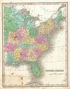
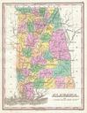
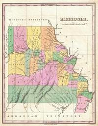
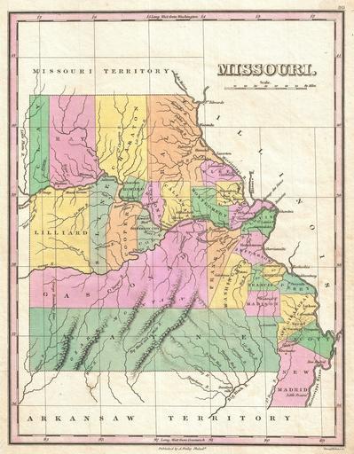
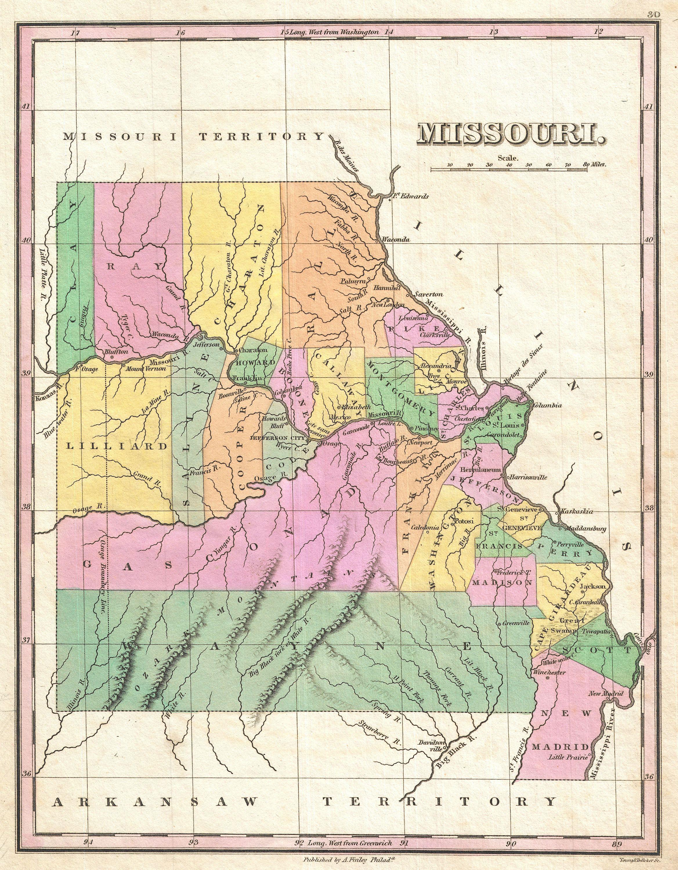
Finley Map of Missouri Geographicus Missourifinley. beautiful example of Finley's important map of Missouri shortly following statehood This is one of the earliest obtainable maps of the State of Missouri Depicts very early county configuration with most of the population attached to the Mississippi and Missouri rivers The western