Related Images

Download:
| Tiny | 171x128 | View | Download |
| Small | 343x256 | View | Download |
| Medium | 687x512 | View | Download |
| Large | 1374x1024 | View | Download |
| Original | 2223x1656 | View | Download |
This image was acquired from
wikimedia. It was marked as Public Domain or CC0 and is free to use. To verify, go to the source and check the information there.
Looking for more info about this image?
Try a Google Reverse Image Search for it.
Try a Google Reverse Image Search for it.
Keywords from Image Description:
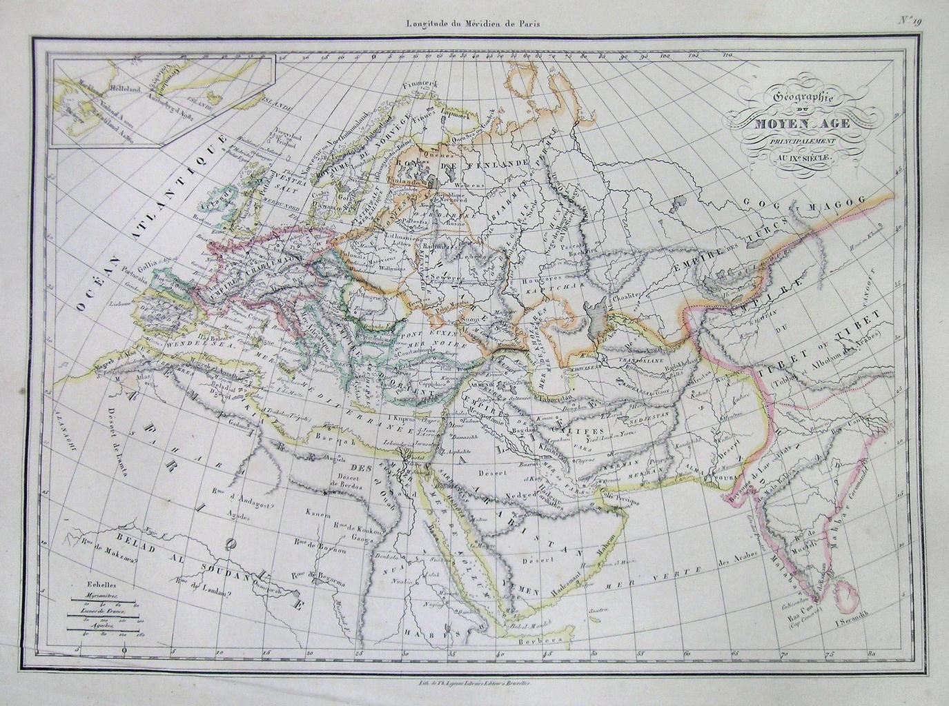
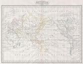
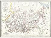
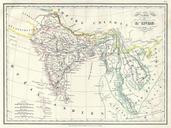
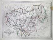
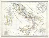
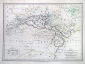
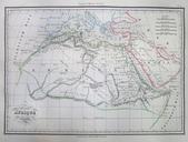
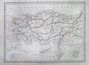
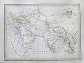
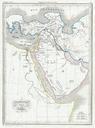
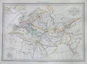
MalteBrun Map of Europe in the Middle Ages Geographicus MiddleAgesmb. This is beautiful hand colored map of Europe and parts of Asia as they appeared in the Middle Ages roughly All text is in French Size in object history credit line accession number MiddleAgesmb Geographicussource PDart Old maps of Europe Maps of the Abbasid