
Related Images


Download:
| Tiny | 128x128 | View | Download |
| Small | 257x256 | View | Download |
| Medium | 515x512 | View | Download |
| Large | 1030x1024 | View | Download |
| Original | 2964x2944 | View | Download |
This image was acquired from
wikimedia. It was marked as Public Domain or CC0 and is free to use. To verify, go to the source and check the information there.
Looking for more info about this image?
Try a Google Reverse Image Search for it.
Try a Google Reverse Image Search for it.
Keywords from Image Description:
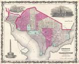
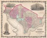
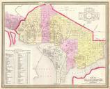
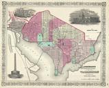
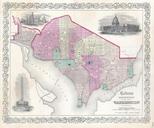
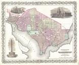
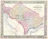
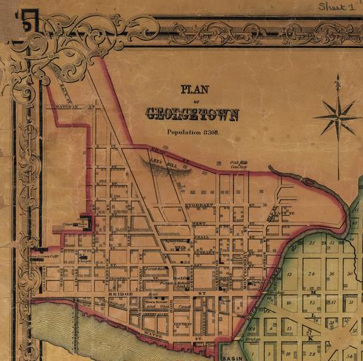
Map of Georgetown crop from Map of the City. The map of Georgetown then separate city It shows block numbers wards builtup areas and major buildings Produced by Lloyd Van Derveer publisher Camden New Jersey handcolored paper Library of Congress Geography and Map Division Washington USA dcu Library of Congress Call number credit