Related Images
Download:
| Tiny | 89x128 | View | Download |
| Small | 179x256 | View | Download |
| Medium | 359x512 | View | Download |
| Large | 719x1024 | View | Download |
| Original | 2460x3500 | View | Download |
This image was acquired from
wikimedia. It was marked as Public Domain or CC0 and is free to use. To verify, go to the source and check the information there.
Looking for more info about this image?
Try a Google Reverse Image Search for it.
Try a Google Reverse Image Search for it.
Keywords from Image Description:
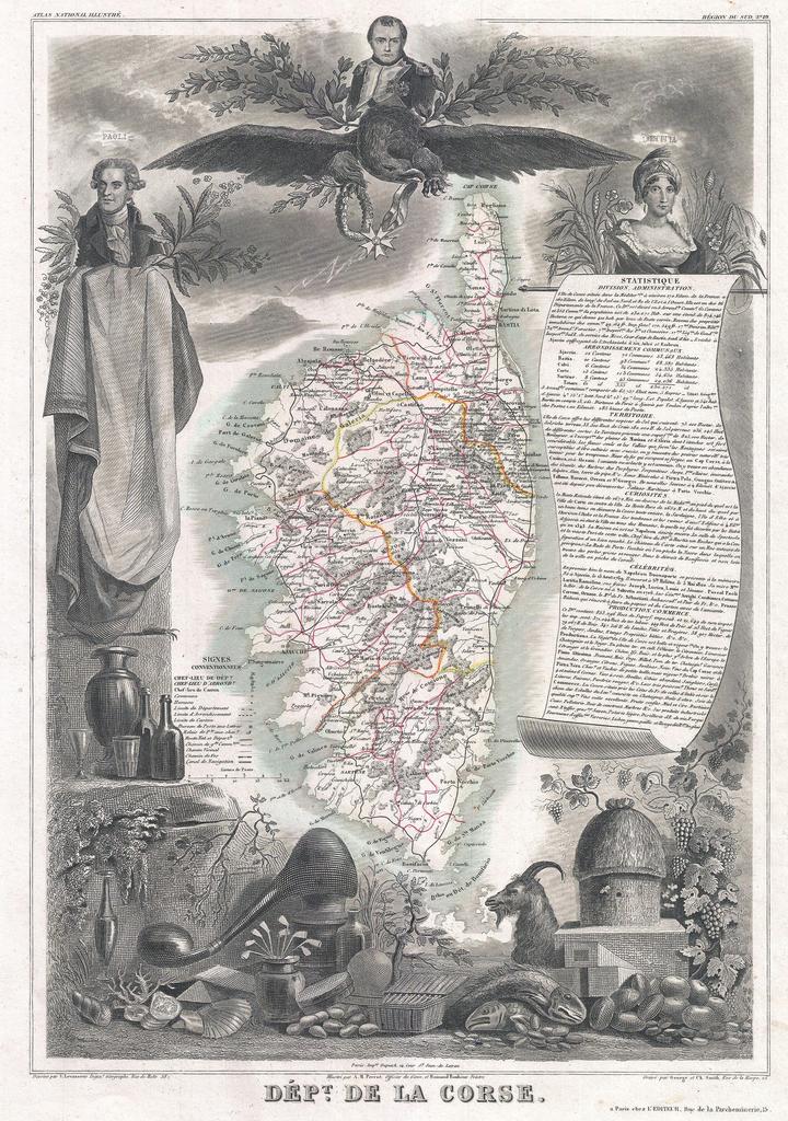
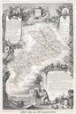
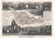
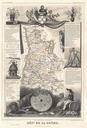
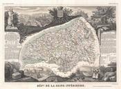
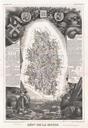
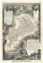
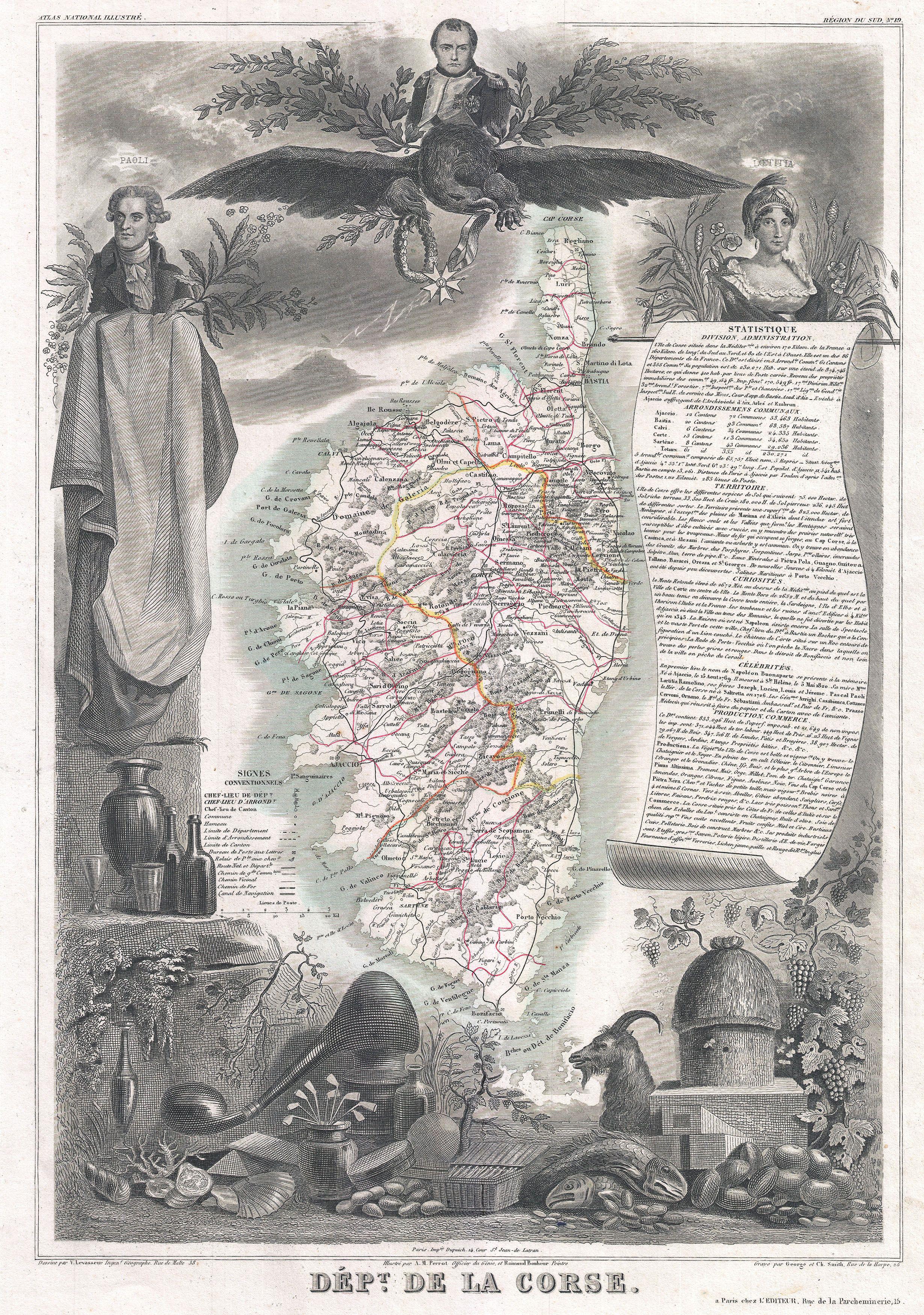
Levasseur Map of Corsica La Corse France Geographicus Corsicalevasseur. visually stunning decorative map of Corsica La Corse dating to by French map publisher Victor Levasseur Levasseur published several different editions of his Corsica map this being first The island of Corsica is drawn inconsiderable detail showing its