
Related Images

Download:
| Tiny | 111x128 | View | Download |
| Small | 222x256 | View | Download |
| Medium | 445x512 | View | Download |
| Large | 891x1024 | View | Download |
| Original | 3500x4021 | View | Download |
This image was acquired from
wikimedia. It was marked as Public Domain or CC0 and is free to use. To verify, go to the source and check the information there.
Looking for more info about this image?
Try a Google Reverse Image Search for it.
Try a Google Reverse Image Search for it.
Keywords from Image Description:
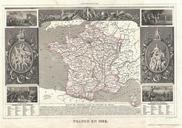
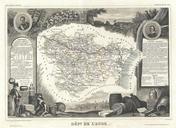
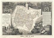
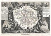
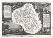
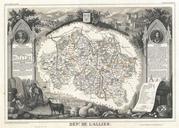
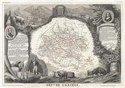
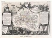
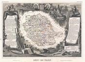
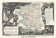
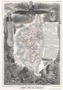
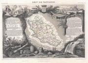
Levasseur Map of France Geographicus Francelevasseur. This is folio format map of France issued with Victor Levasseur's Atlas National Illustre Covers all of France as well as adjacent parts of Italy Span and England Shows all Departments as well as postal routes major cities rivers and roadways Indicates mileage between most