
Related Images


Download:
| Tiny | 182x128 | View | Download |
| Small | 365x256 | View | Download |
| Medium | 731x512 | View | Download |
| Large | 1462x1024 | View | Download |
| Original | 3000x2100 | View | Download |
This image was acquired from
wikimedia. It was marked as Public Domain or CC0 and is free to use. To verify, go to the source and check the information there.
Looking for more info about this image?
Try a Google Reverse Image Search for it.
Try a Google Reverse Image Search for it.
Keywords from Image Description:
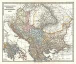
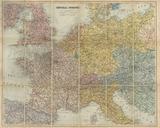
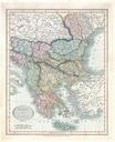
S.D.U.K. Pocket Map of the Balkans Croatia Dalmatia Sclavonia Geographicus AustrianDominionsIIIKnight. This is map of rarely depicted portion of Europe including most of modern day Croatia Depicts the south part of the Austrian Empire including Dalmatia Croatia and Sclavonia large inset shows the full extent of the Austrian empire