
Related Images

Download:
| Tiny | 155x128 | View | Download |
| Small | 311x256 | View | Download |
| Medium | 623x512 | View | Download |
| Large | 1247x1024 | View | Download |
| Original | 3500x2872 | View | Download |
This image was acquired from
wikimedia. It was marked as Public Domain or CC0 and is free to use. To verify, go to the source and check the information there.
Looking for more info about this image?
Try a Google Reverse Image Search for it.
Try a Google Reverse Image Search for it.
Keywords from Image Description:
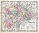
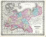
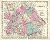
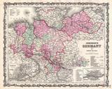
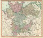
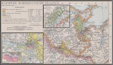
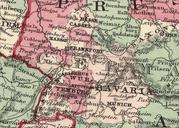
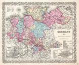
Colton Map of Hanover and Holstein Germany Geographicus Germanycolton. beautiful first edition example of Colton's map of northern Germany Covers the th century German provinces of Hanover Holstein and Mecklenberg Schwerin Divided and color coded according to regional divisions An inset in the lower left quadrant details Hamburg