Related Images

Download:
| Tiny | 143x128 | View | Download |
| Small | 286x256 | View | Download |
| Medium | 573x512 | View | Download |
| Large | 1147x1024 | View | Download |
| Original | 5000x4461 | View | Download |
This image was acquired from
wikimedia. It was marked as Public Domain or CC0 and is free to use. To verify, go to the source and check the information there.
Looking for more info about this image?
Try a Google Reverse Image Search for it.
Try a Google Reverse Image Search for it.
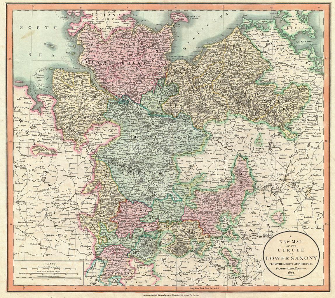
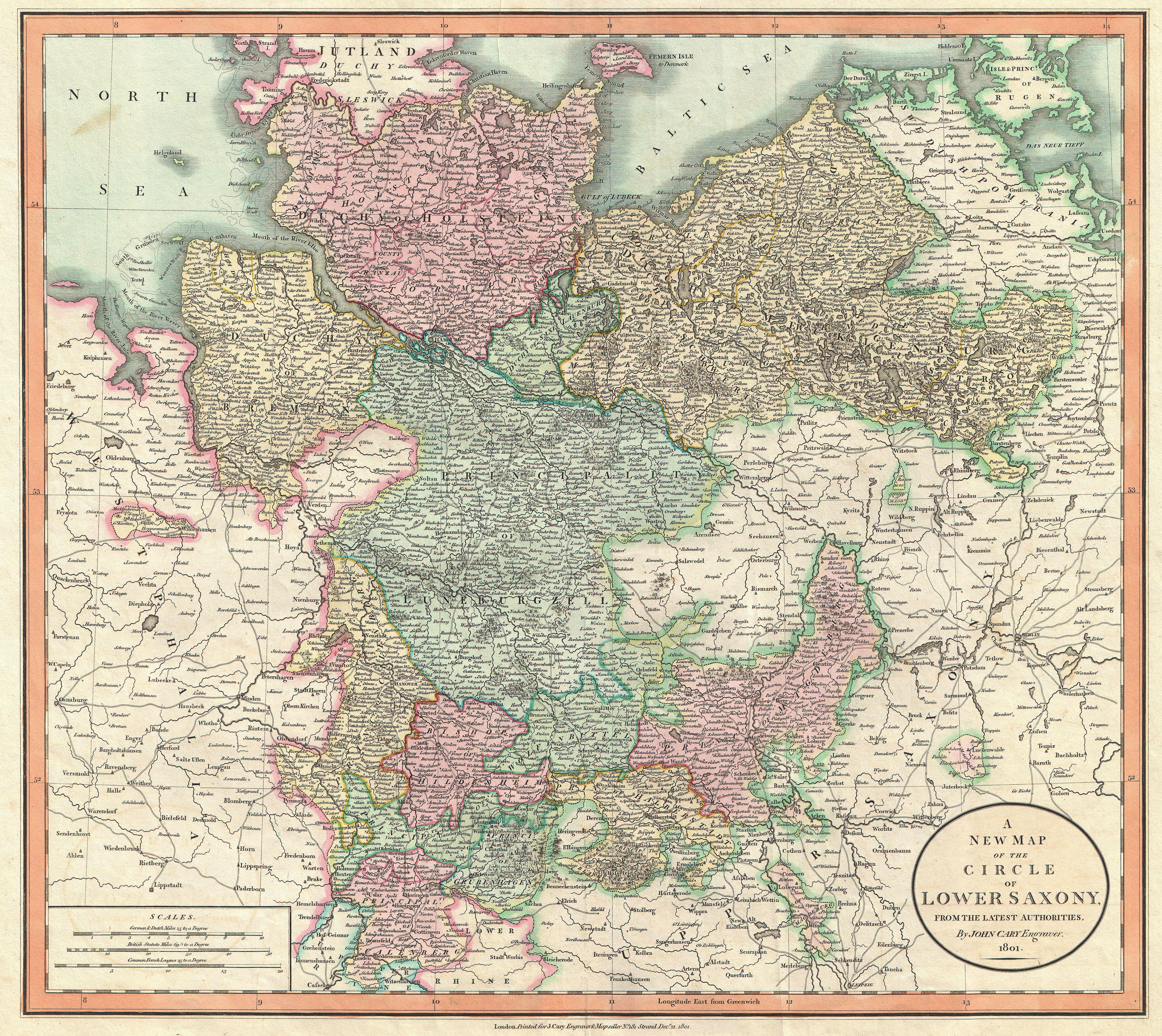
Keywords from Image Description:
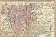
Cary Map of Lower Saxony Holstein Lubeck Lunenburgzell Bremen Berlin Geographicus LowerSaxonycary. An extremely attractive example of John Cary map of the Lower Saxony region of Germany Consists of the Duchies of Bremen Holstein Mecklenburg and Saxe Lauenburg as well as the Principalities of Leunenburgzell Calenberg Wolfenbuttel