
Related Images


Download:
| Tiny | 183x128 | View | Download |
| Small | 366x256 | View | Download |
| Medium | 733x512 | View | Download |
| Large | 1467x1024 | View | Download |
| Original | 5000x3490 | View | Download |
This image was acquired from
wikimedia. It was marked as Public Domain or CC0 and is free to use. To verify, go to the source and check the information there.
Looking for more info about this image?
Try a Google Reverse Image Search for it.
Try a Google Reverse Image Search for it.
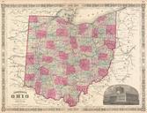
Keywords from Image Description:
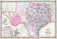
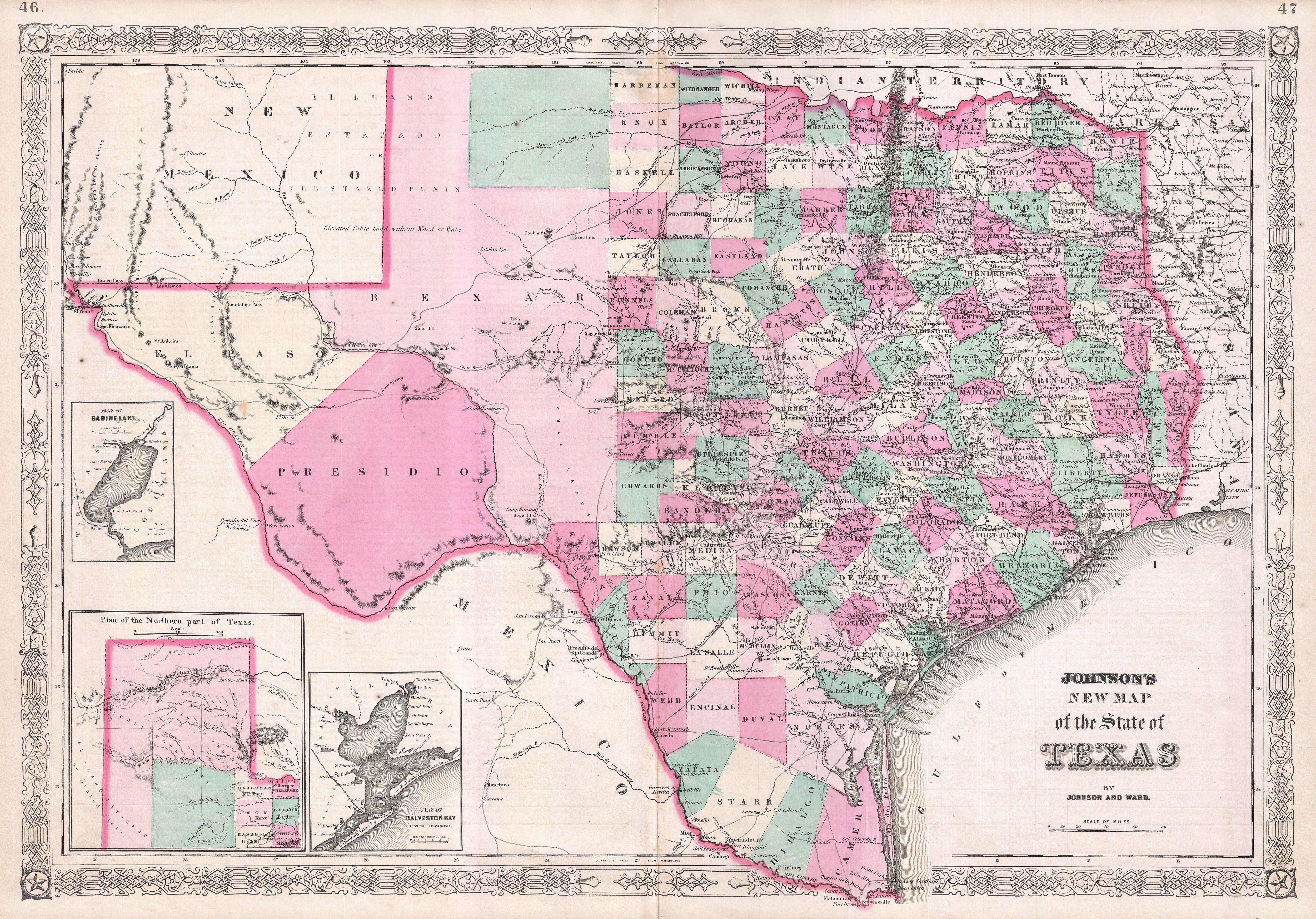
Johnson Map of Texas Geographicus Texasjohnson. An exceptional example of Johnson highly desirable map of Texas Created shortly after the American Civil War this extraordinary folio map details the state of Texas in full Identifies the Elevated Table Lands the El Llando Estadado the Staked Plain the Mail Route numerous geographical