
Related Images


Download:
| Tiny | 103x128 | View | Download |
| Small | 206x256 | View | Download |
| Medium | 413x512 | View | Download |
| Large | 826x1024 | View | Download |
| Original | 3000x3718 | View | Download |
This image was acquired from
wikimedia. It was marked as Public Domain or CC0 and is free to use. To verify, go to the source and check the information there.
Looking for more info about this image?
Try a Google Reverse Image Search for it.
Try a Google Reverse Image Search for it.
Keywords from Image Description:
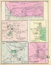
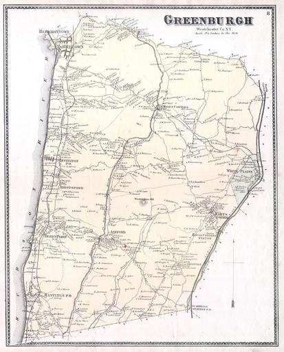
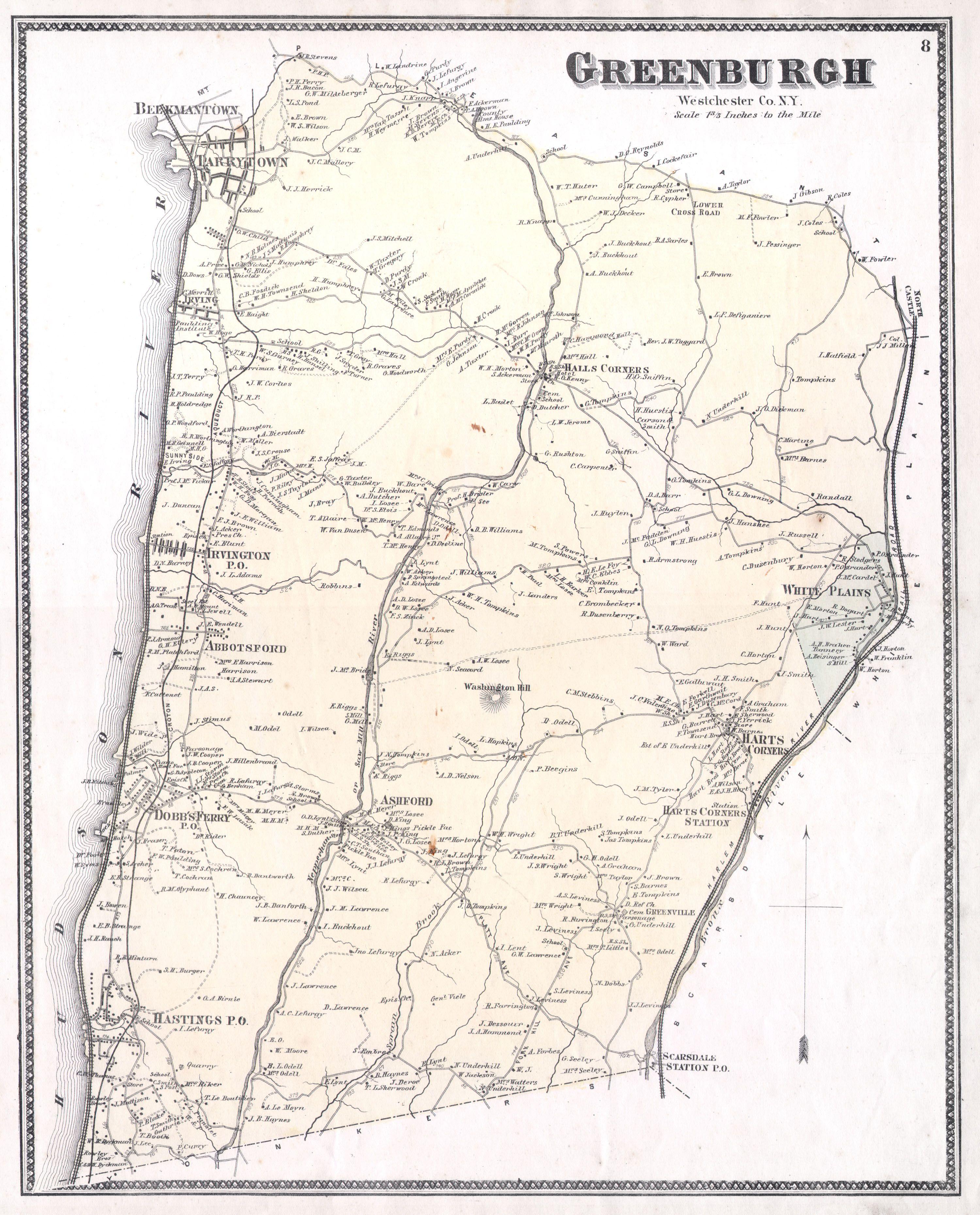
Beers Map of Westchester White Plains Scarsdale Hastings New York Geographicus Greenburghbeers. This is the scarce Greenburgh sheet from Beers Atlas of Westchester County New York When this map was produced Greenburgh consisted of what is today the central Westchester County Includes White Plains Scarsdale Hastings Dobbs Ferry