
Related Images

Download:
| Tiny | 80x128 | View | Download |
| Small | 161x256 | View | Download |
| Medium | 323x512 | View | Download |
| Large | 646x1024 | View | Download |
| Original | 3156x5000 | View | Download |
This image was acquired from
wikimedia. It was marked as Public Domain or CC0 and is free to use. To verify, go to the source and check the information there.
Looking for more info about this image?
Try a Google Reverse Image Search for it.
Try a Google Reverse Image Search for it.
Keywords from Image Description:
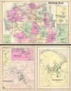
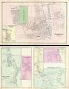
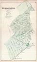
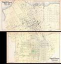
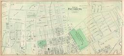
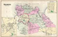
Beers Map of Oyster Bay Queens New York City Geographicus OysterBaySbeers. scarce example of Fredrick Beers map of the southern part of Oyster Bay Queens New York Published in Covers roughly from Jones Beach northward as far as Jericho Includes inset plans of Farmingdale and Jericho Detailed to the level of individual buildings