
Related Images


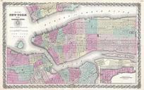
Download:
| Tiny | 163x128 | View | Download |
| Small | 327x256 | View | Download |
| Medium | 654x512 | View | Download |
| Large | 1308x1024 | View | Download |
| Original | 3000x2348 | View | Download |
This image was acquired from
wikimedia. It was marked as Public Domain or CC0 and is free to use. To verify, go to the source and check the information there.
Looking for more info about this image?
Try a Google Reverse Image Search for it.
Try a Google Reverse Image Search for it.
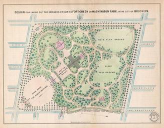
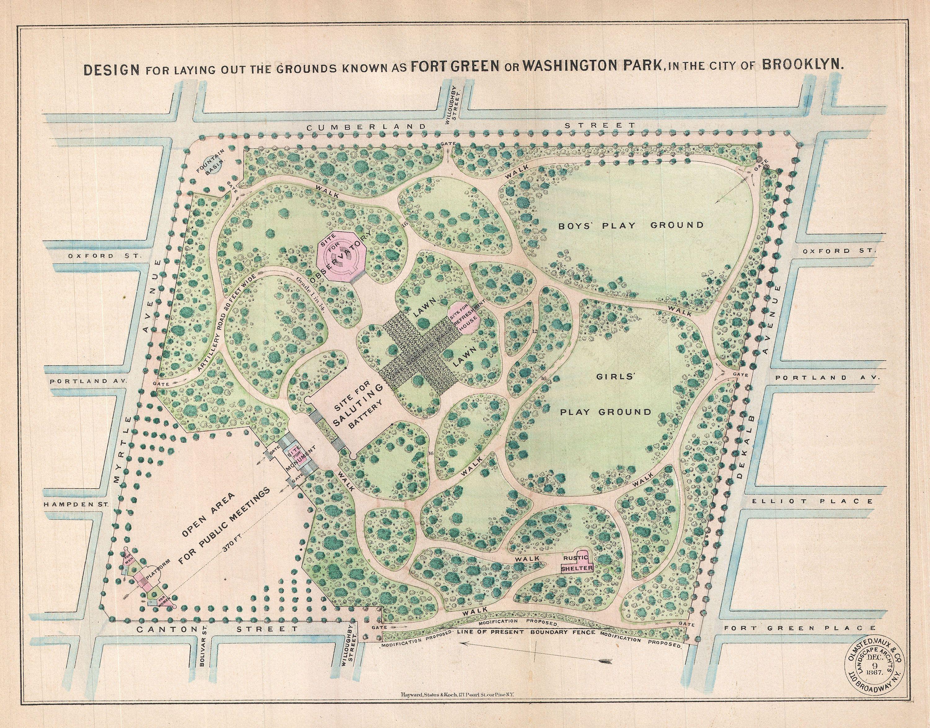
Keywords from Image Description:
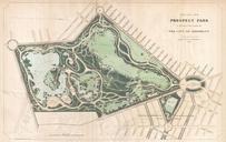
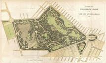
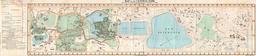
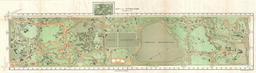
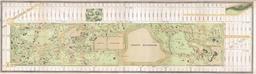
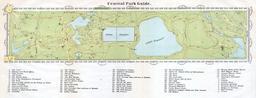
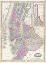
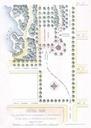
Vaux and Olmstead Map of Fort Greene Park Brooklyn New York Geographicus FortGreenParkbishop. rare example Vaux Olmstead's map of Washington Park or as it is now known Fort Greene Park Brooklyn Fort Greene Park is considered to be Brooklyn first park Depicts the park as whole and includes pathways lakes buildings individual trees