
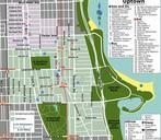
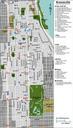
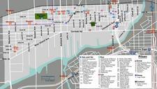
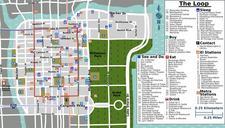
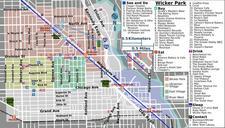
Related Images


Download:
| Tiny | 61x128 | View | Download |
| Small | 123x256 | View | Download |
| Medium | 247x512 | View | Download |
| Large | 495x1024 | View | Download |
| Original | 1225x2533 | View | Download |
This image was acquired from
wikimedia. It was marked as Public Domain or CC0 and is free to use. To verify, go to the source and check the information there.
Looking for more info about this image?
Try a Google Reverse Image Search for it.
Try a Google Reverse Image Search for it.
Keywords from Image Description:
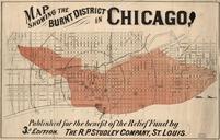
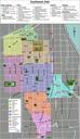
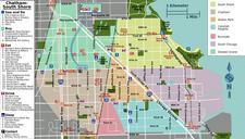
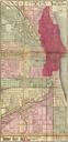
Chicago Burnt District Map. Watson's New County and Railroad Map of the Western States and Territories Chicago Section davidrumsey Rumsey Maps Watson Gaylord PDold loc gov maps in Chicago Chicago in the Great Chicago Fire Old maps of Chicago