Related Images


Download:
| Tiny | 196x128 | View | Download |
| Small | 393x256 | View | Download |
| Medium | 786x512 | View | Download |
| Large | 1572x1024 | View | Download |
| Original | 5000x3256 | View | Download |
This image was acquired from
wikimedia. It was marked as Public Domain or CC0 and is free to use. To verify, go to the source and check the information there.
Looking for more info about this image?
Try a Google Reverse Image Search for it.
Try a Google Reverse Image Search for it.
Keywords from Image Description:
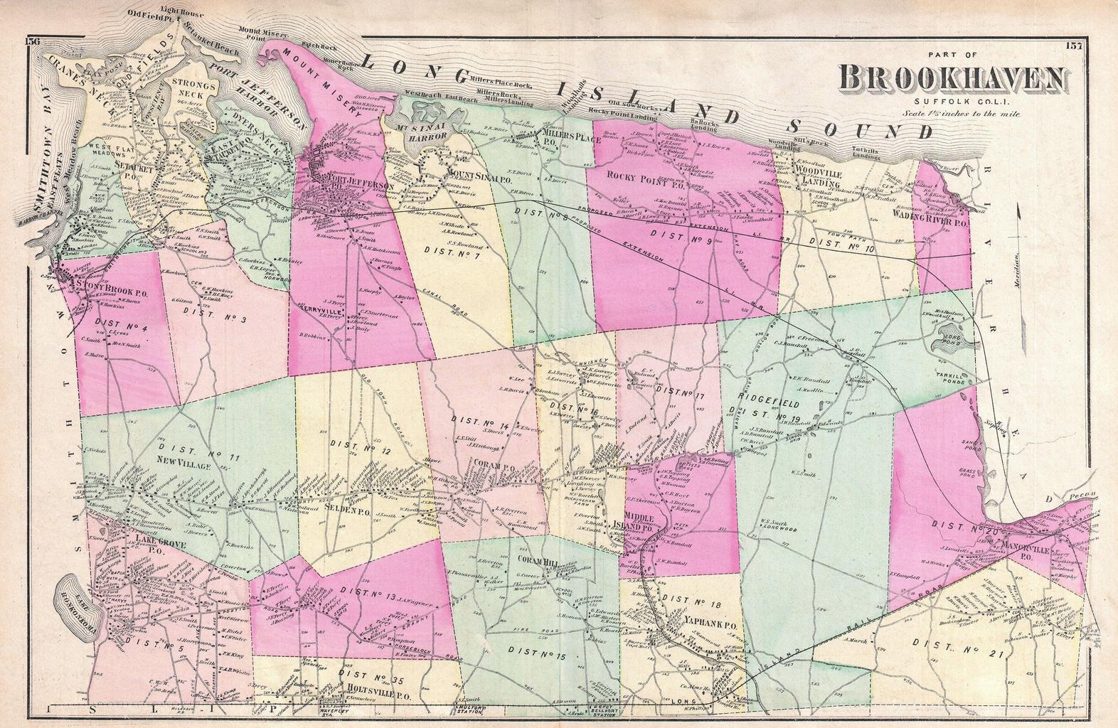
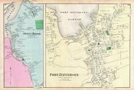
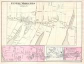
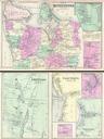
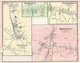
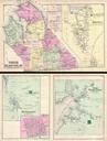
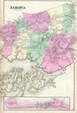
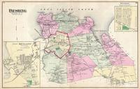
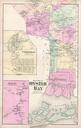
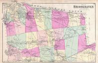
Beers Map of Northern Brookhaven Long Island New York Geographicus BrookhavenNbeers. scarce example of Fredrick Beers map of the northern part of Brookhaven Long Island New York Published in Covers roughly from Smithtown Bay and Cranes Neck eastward as far as Manorville and Wading River Shows the Smithtown and Jefferson Railroad