
Related Images


Download:
| Tiny | 191x128 | View | Download |
| Small | 383x256 | View | Download |
| Medium | 766x512 | View | Download |
| Large | 1532x1024 | View | Download |
| Original | 17370x11606 | View | Download |
This image was acquired from
wikimedia. It was marked as Public Domain or CC0 and is free to use. To verify, go to the source and check the information there.
Looking for more info about this image?
Try a Google Reverse Image Search for it.
Try a Google Reverse Image Search for it.
Keywords from Image Description:
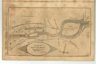
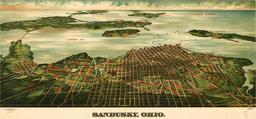
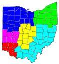
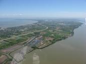
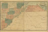
Map of Lucas and parts of Wood Ottawa and Sandusky Counties Ohio. InteractiveViewer Map of Lucas and parts of Wood Ottawa and Sandusky Counties Ohio loc gov gmd la Library of Congress Locke Trowbridge Lith Toledo OH compiled from offiicial records special surveys by Judson Civil Engineer PDold maps Maps of Lucas County Ohio