
Related Images

Download:
| Tiny | 152x128 | View | Download |
| Small | 304x256 | View | Download |
| Medium | 609x512 | View | Download |
| Large | 1219x1024 | View | Download |
| Original | 6000x5037 | View | Download |
This image was acquired from
wikimedia. It was marked as Public Domain or CC0 and is free to use. To verify, go to the source and check the information there.
Looking for more info about this image?
Try a Google Reverse Image Search for it.
Try a Google Reverse Image Search for it.
Keywords from Image Description:
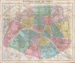
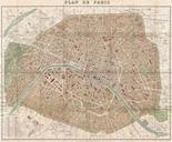
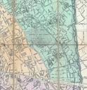
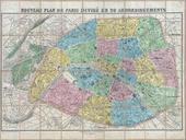
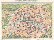
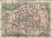
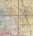
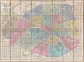
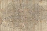
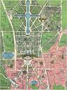
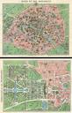
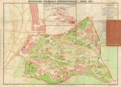
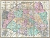
Hachette Plan or Pocket Map of Paris France Geographicus Parishachette. Artwork Author info Alexandre Vuillemin cartographer br This is large format folding map of Paris dating to Covers the old walled city of Paris plus surrounding areas from the Bois de Boulogne to the Bois de Vincennes Names countless important buildings