
Related Images

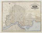

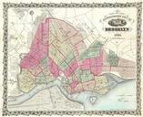


Download:
| Tiny | 171x128 | View | Download |
| Small | 343x256 | View | Download |
| Medium | 686x512 | View | Download |
| Large | 1372x1024 | View | Download |
| Original | 4134x3084 | View | Download |
This image was acquired from
wikimedia. It was marked as Public Domain or CC0 and is free to use. To verify, go to the source and check the information there.
Looking for more info about this image?
Try a Google Reverse Image Search for it.
Try a Google Reverse Image Search for it.
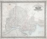
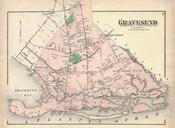
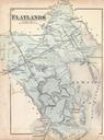
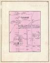
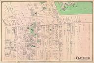
Keywords from Image Description:
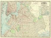
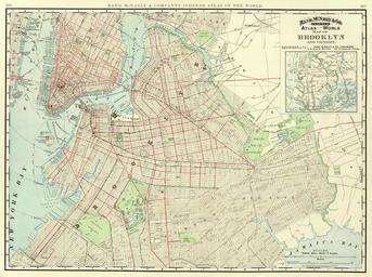
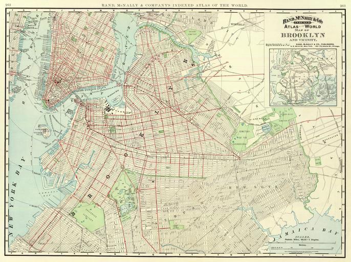
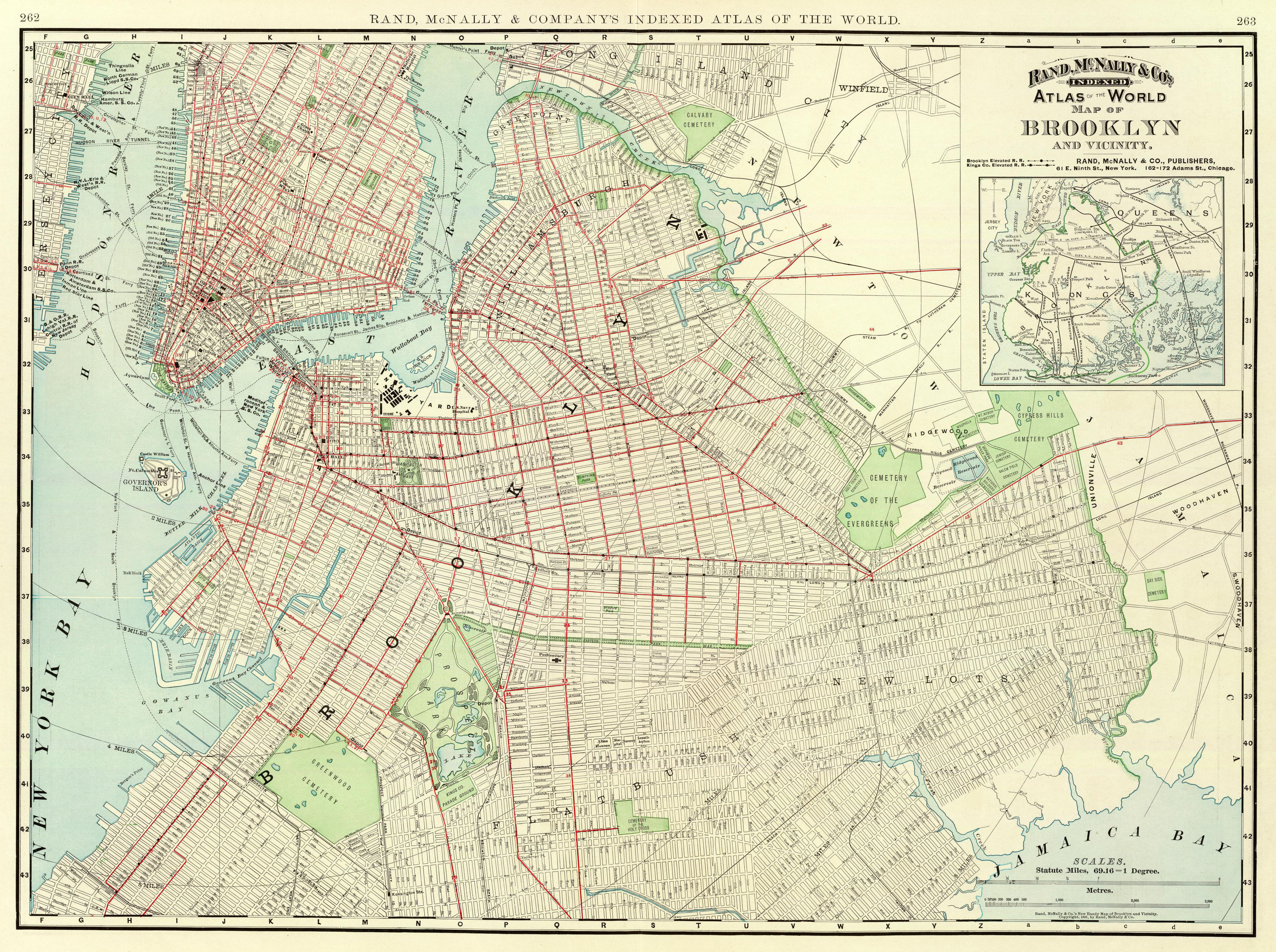
Brooklyn map. This is map of Brooklyn and vicinity published by Rand McNally in as part of their Atlas of the World The davidrumsey David Rumsey Collection scanned it PDArt maps of New York City in New York City History of Brooklyn David Rumsey Historical Map Collection maps Artworks missing infobox template