
Related Images


Download:
| Tiny | 78x128 | View | Download |
| Small | 156x256 | View | Download |
| Medium | 312x512 | View | Download |
| Large | 624x1024 | View | Download |
| Original | 1027x1684 | View | Download |
This image was acquired from
wikimedia. It was marked as Public Domain or CC0 and is free to use. To verify, go to the source and check the information there.
Looking for more info about this image?
Try a Google Reverse Image Search for it.
Try a Google Reverse Image Search for it.
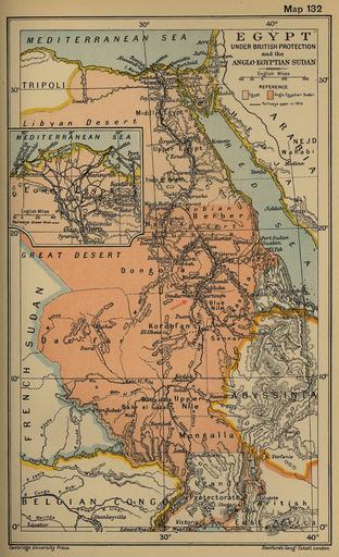
Keywords from Image Description:
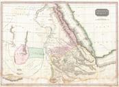
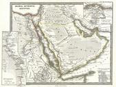
Khartoum map detail AngloEgyptian Sudan Cambridge Modern History Atlas. Detail of map Egypt Under British Protection and the AngloEgyptian Sudan The Cambridge Modern History Atlas edited by Sir Adolphus William Ward Prothero Sir Stanley Mordaunt Leathes and Benians Cambridge University Press London lib utexas edu html Cambridge