Related Images


Download:
| Tiny | 169x128 | View | Download |
| Small | 338x256 | View | Download |
| Medium | 676x512 | View | Download |
| Large | 1352x1024 | View | Download |
| Original | 3500x2649 | View | Download |
This image was acquired from
wikimedia. It was marked as Public Domain or CC0 and is free to use. To verify, go to the source and check the information there.
Looking for more info about this image?
Try a Google Reverse Image Search for it.
Try a Google Reverse Image Search for it.
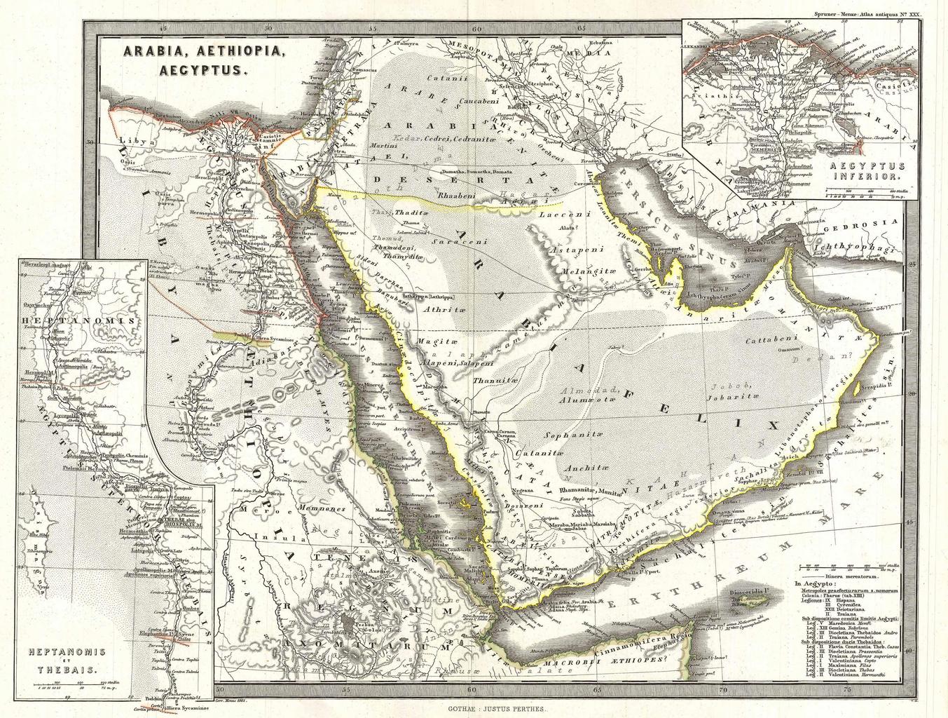
Keywords from Image Description:
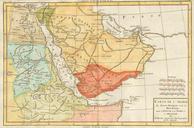
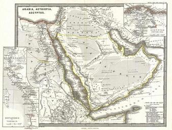
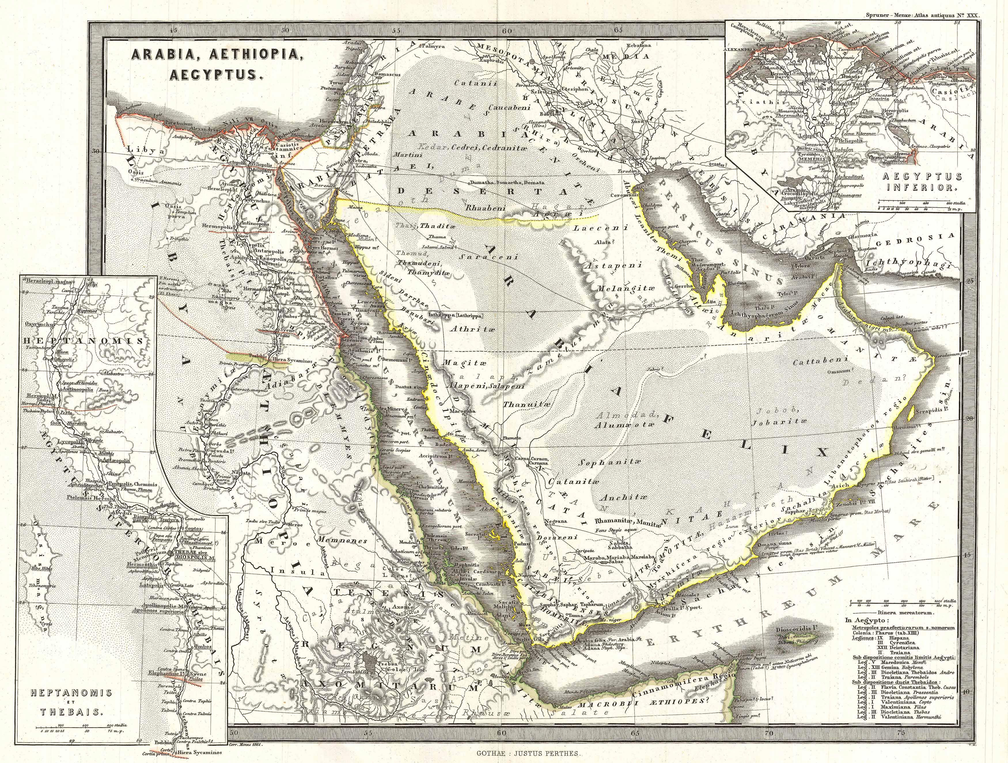
Spruner Map of Arabia and Egypt in Antiquity Geographicus Arabiaspruner. particularly interesting historic map this is Karl von Spruner rendering of Arabia Aethiopia Ethiopia and Egypt Aegyptus in antiquity Centered on the Red Sea or Mare Rubrum this map covers the entirety of the Arabian Peninsula the Persian Gulf and the Nile