
Related Images


Download:
| Tiny | 214x128 | View | Download |
| Small | 428x256 | View | Download |
| Medium | 857x512 | View | Download |
| Large | 1715x1024 | View | Download |
| Original png | 4096x2445 | View | Download |
| Original as jpg | 4096x2445 | View | Download |
This image was acquired from
flickr. It was marked as Public Domain or CC0 and is free to use. To verify, go to the source and check the information there.
Looking for more info about this image?
Try a Google Reverse Image Search for it.
Try a Google Reverse Image Search for it.
Keywords from Image Description:
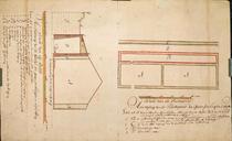
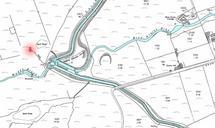
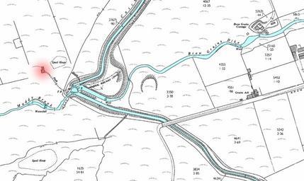
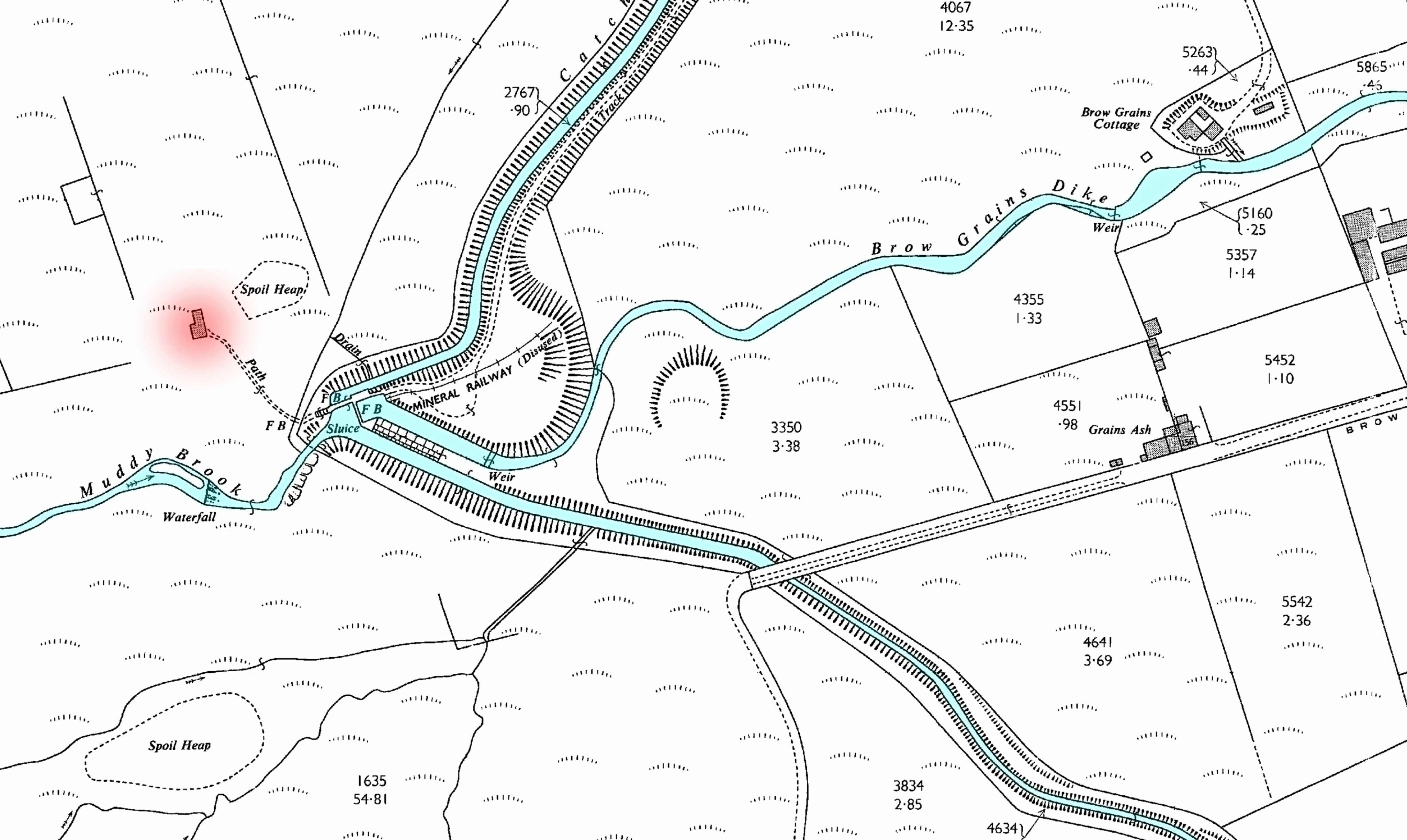
brow grains meltham browgrainsmeltham maps Map showing the layout of the confluence at Brow Grains. The bore hole pumping station building is highlighted in red. The map also shows the route of disused ampquotmineral railwayampquot. Map showing the layout of the confluence at Brow Grains. The bore hole pumping station building is