
Related Images


Download:
| Tiny | 211x128 | View | Download |
| Small | 422x256 | View | Download |
| Medium | 844x512 | View | Download |
| Large | 1689x1024 | View | Download |
| Original | 2400x1455 | View | Download |
This image was acquired from
wikimedia. It was marked as Public Domain or CC0 and is free to use. To verify, go to the source and check the information there.
Looking for more info about this image?
Try a Google Reverse Image Search for it.
Try a Google Reverse Image Search for it.
Keywords from Image Description:
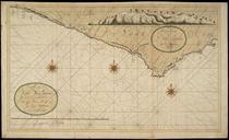
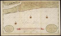
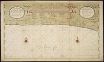
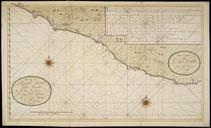
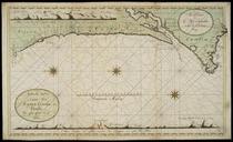
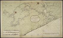
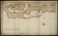
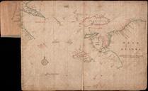
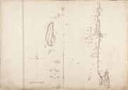
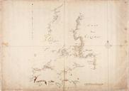
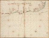
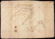
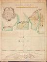
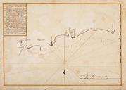
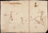
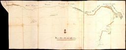
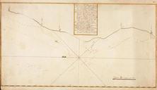
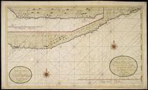
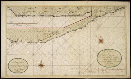
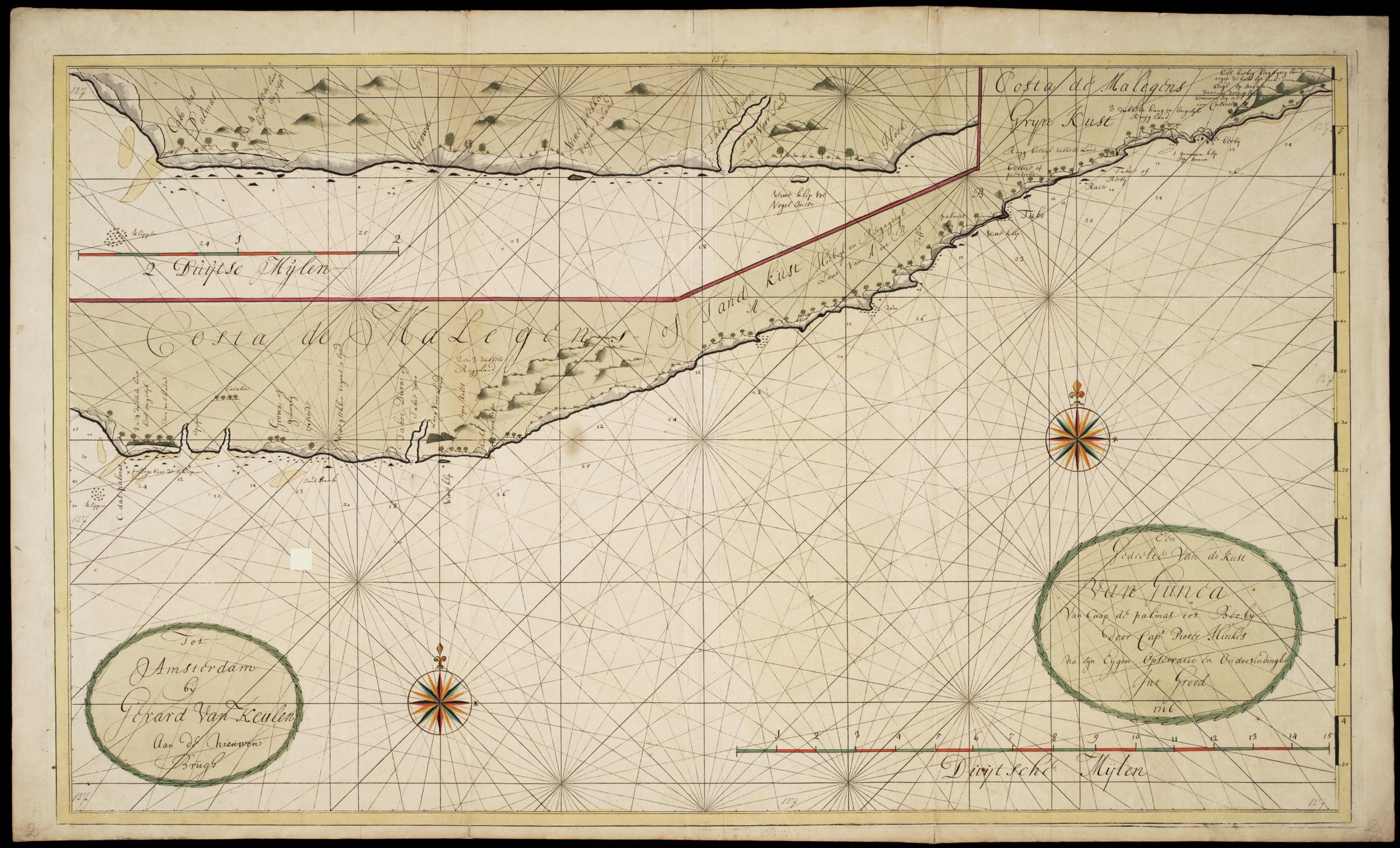
AMHNA Map of West Africa of the Grain and Ivory Coast. Artwork nl Kaart van WestAfrika van de Grein en Ivoorkust nl Titel catalogus Leupe NA Kaart van een gedeelte van de Kust van Guinea van Berbij tot Coetroe De kaart is op blauw papier geplakt Notities verso No De kust van Caap Das Palmas oostwaart tot Berbij en Title in the Leupe


