
Related Images


Download:
| Tiny | 144x128 | View | Download |
| Small | 288x256 | View | Download |
| Medium | 577x512 | View | Download |
| Large | 1154x1024 | View | Download |
| Original | 4978x4414 | View | Download |
This image was acquired from
wikimedia. It was marked as Public Domain or CC0 and is free to use. To verify, go to the source and check the information there.
Looking for more info about this image?
Try a Google Reverse Image Search for it.
Try a Google Reverse Image Search for it.
Keywords from Image Description:
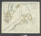
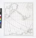
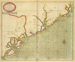
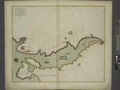
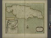
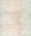
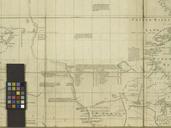
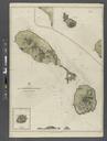
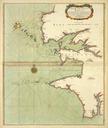
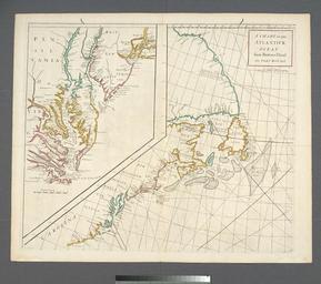
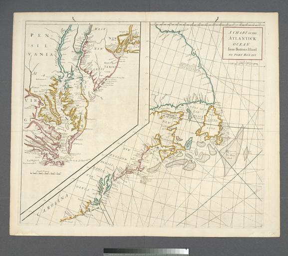
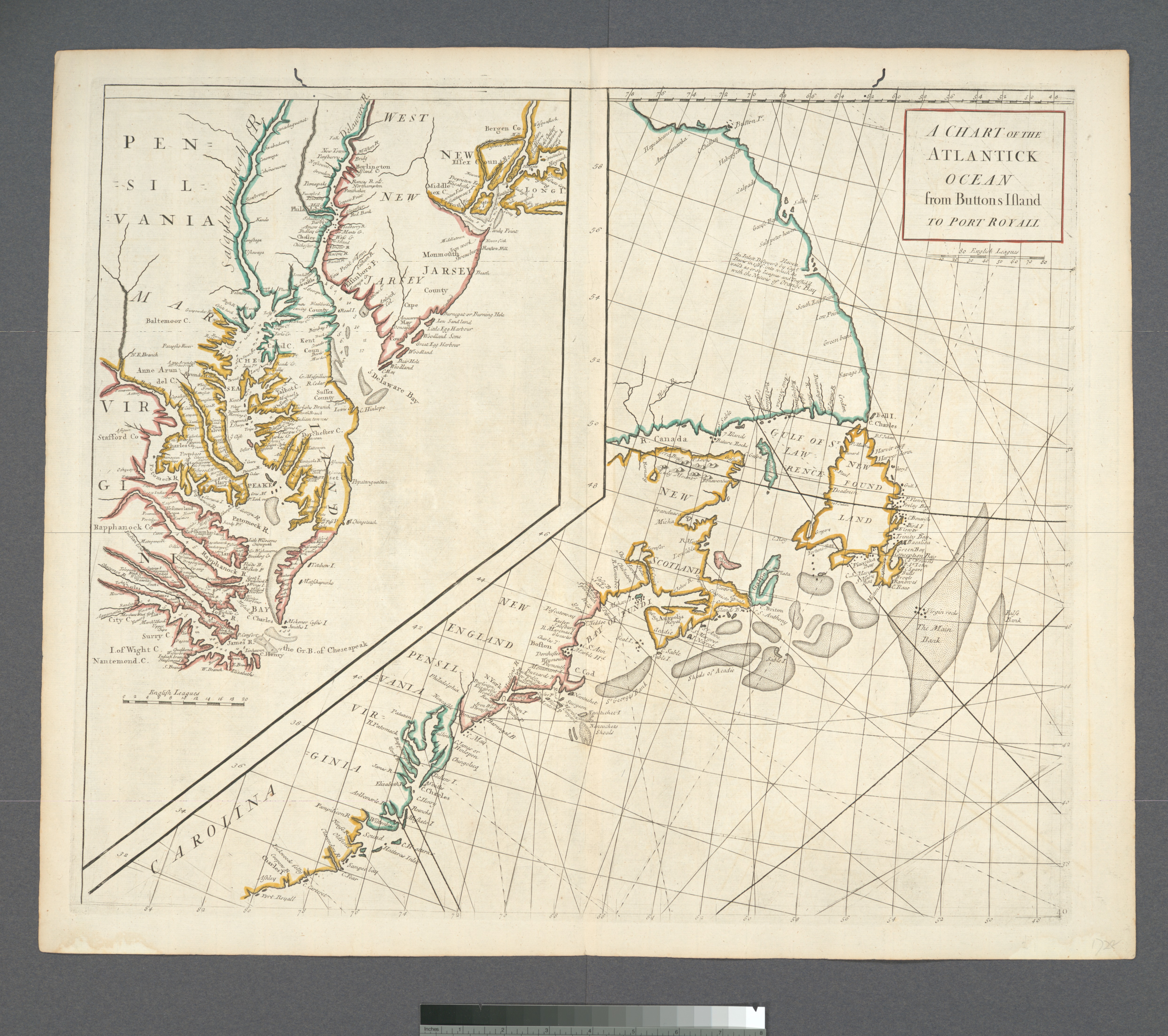
A chart of the Atlantick Ocean from Buttons Island to Port Royall NYPL b. en Citation Phillips Covers east coast of North America from Labrador to South Carolina Depths shown by soundings on inset Shallow areas shown by stippling From Atlas maritimus commercialis or general view of the orld so far as relates to trade and navigation