
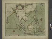
Related Images

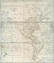
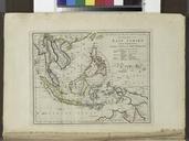
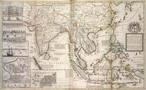


Download:
| Tiny | 170x128 | View | Download |
| Small | 340x256 | View | Download |
| Medium | 681x512 | View | Download |
| Large | 1363x1024 | View | Download |
| Original tiff | 7230x5428 | View | Download |
| Original as jpg | 7230x5428 | View | Download |
This image was acquired from
wikimedia. It was marked as Public Domain or CC0 and is free to use. To verify, go to the source and check the information there.
Looking for more info about this image?
Try a Google Reverse Image Search for it.
Try a Google Reverse Image Search for it.
Keywords from Image Description:
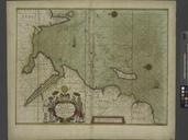
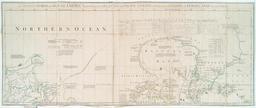
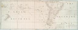
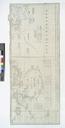
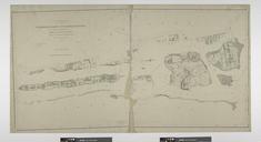
A chart of the eastermost part of the EAST INDIES and CHINA from Cape Comarine to JAPAN with all adjacent Islands NYPL b. inserted in Sabin and Phillips nypl org Scan by NYPL chart of the eastermost part of the EAST INDIES and CHINA from Cape Comarine to JAPAN with all adjacent Islands Nautical charts London Lionel Pincus and