
Related Images


Download:
| Tiny | 213x128 | View | Download |
| Small | 427x256 | View | Download |
| Medium | 854x512 | View | Download |
| Large | 1709x1024 | View | Download |
| Original tiff | 6782x4062 | View | Download |
| Original as jpg | 6782x4062 | View | Download |
This image was acquired from
wikimedia. It was marked as Public Domain or CC0 and is free to use. To verify, go to the source and check the information there.
Looking for more info about this image?
Try a Google Reverse Image Search for it.
Try a Google Reverse Image Search for it.
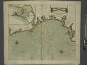
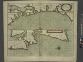
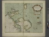
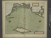
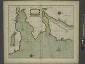
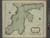
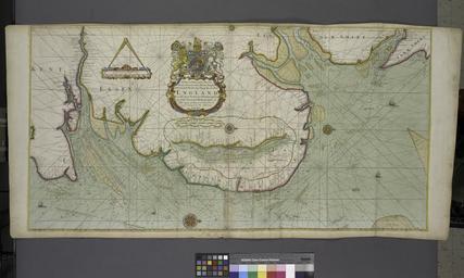
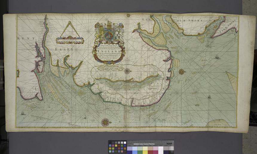
Keywords from Image Description:
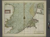
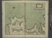
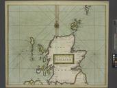
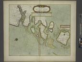
A chart of the sands shoals buoys beacons sea marks depths of water and anchoridge. Upon the coast of ENGLAND from South Foreland to Flambrough Head NYPL. Information Thornton Samuel Cartographer of most of the seacoasts of the known parts of the world in maps cm Information field Location Stephen Schwarzman Building The Lionel