
Related Images


Download:
| Tiny | 170x128 | View | Download |
| Small | 340x256 | View | Download |
| Medium | 681x512 | View | Download |
| Large | 1363x1024 | View | Download |
| Original tiff | 7230x5428 | View | Download |
| Original as jpg | 7230x5428 | View | Download |
This image was acquired from
wikimedia. It was marked as Public Domain or CC0 and is free to use. To verify, go to the source and check the information there.
Looking for more info about this image?
Try a Google Reverse Image Search for it.
Try a Google Reverse Image Search for it.
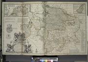
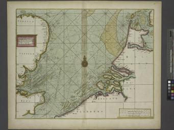
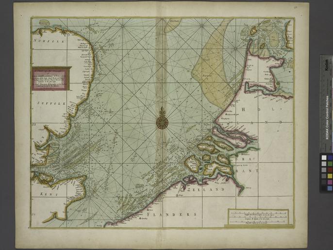
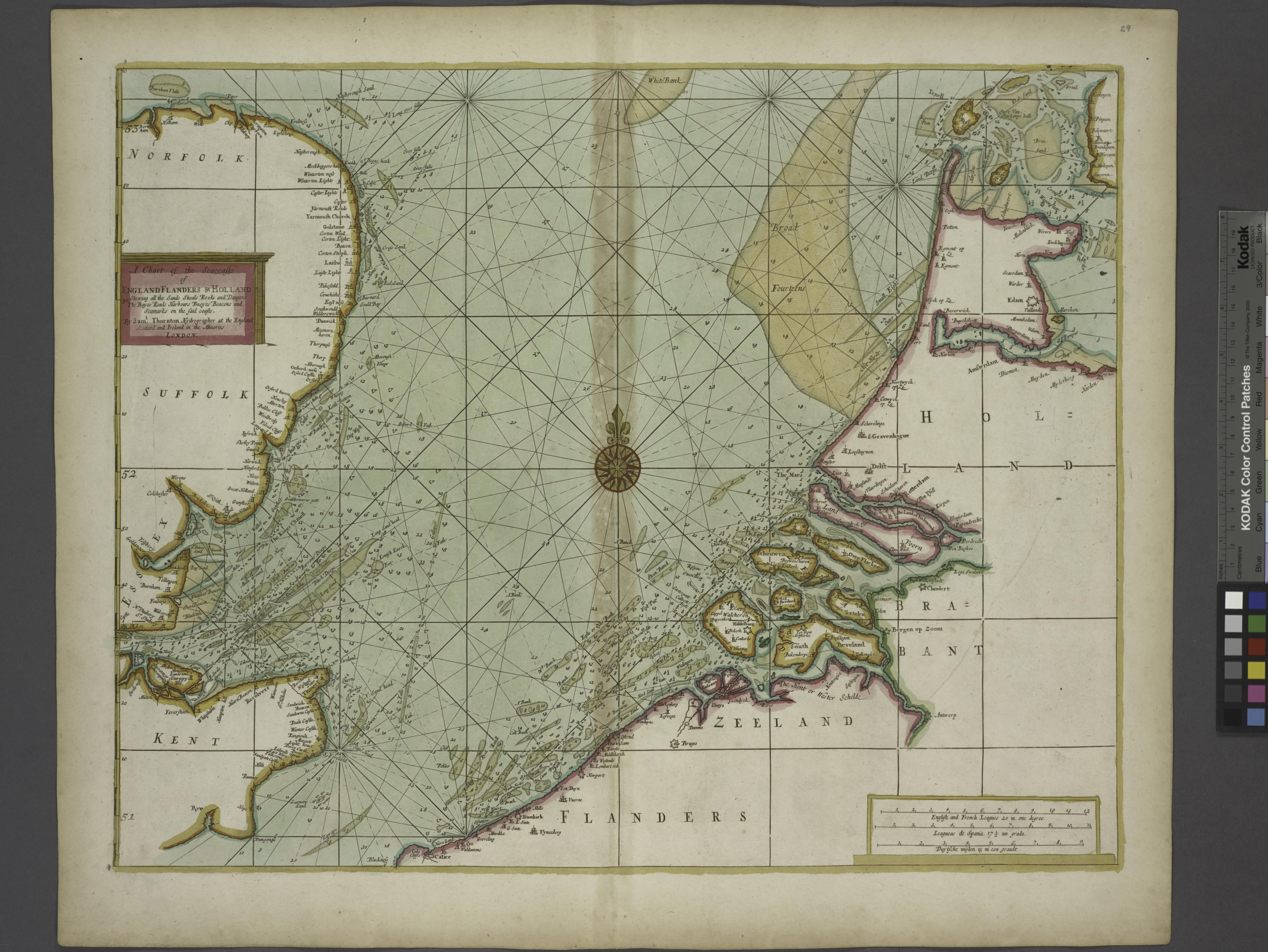
Keywords from Image Description:
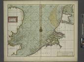
A chart of the Seacoasts of ENGLAND FLANDERS and HOLLAND shewing all the sand shoals Rocks and Dangers The Bayes Roads Harbours Buoyes and seamarks on the said coasts. NYPL. Information Thornton Samuel Cartographer of most of the seacoasts of the known parts of the world in maps cm Information field Location Stephen Schwarzman