Related Images

Download:
| Tiny | 108x128 | View | Download |
| Small | 216x256 | View | Download |
| Medium | 432x512 | View | Download |
| Large | 864x1024 | View | Download |
| Original tiff | 4712x5579 | View | Download |
| Original as jpg | 4712x5579 | View | Download |
This image was acquired from
wikimedia. It was marked as Public Domain or CC0 and is free to use. To verify, go to the source and check the information there.
Looking for more info about this image?
Try a Google Reverse Image Search for it.
Try a Google Reverse Image Search for it.
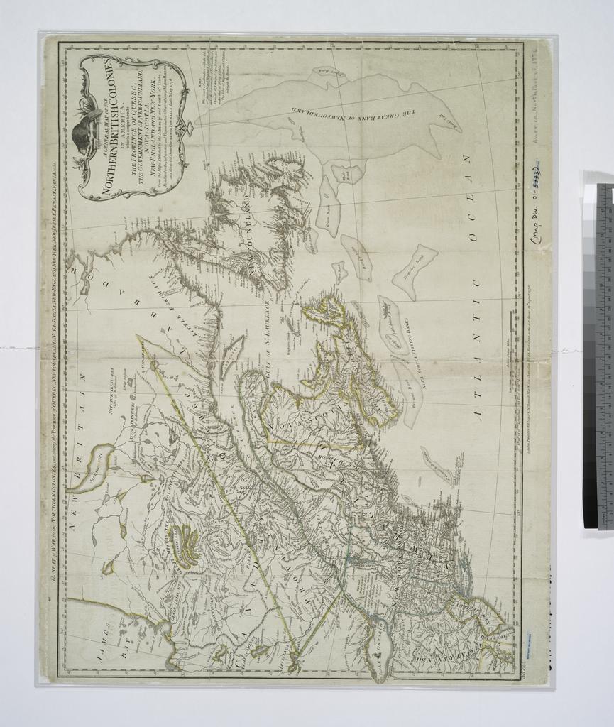
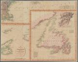
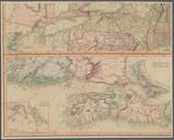
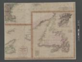
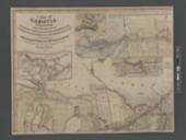
Keywords from Image Description:
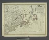
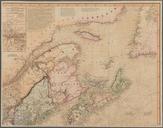
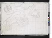
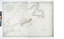
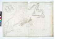
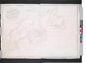
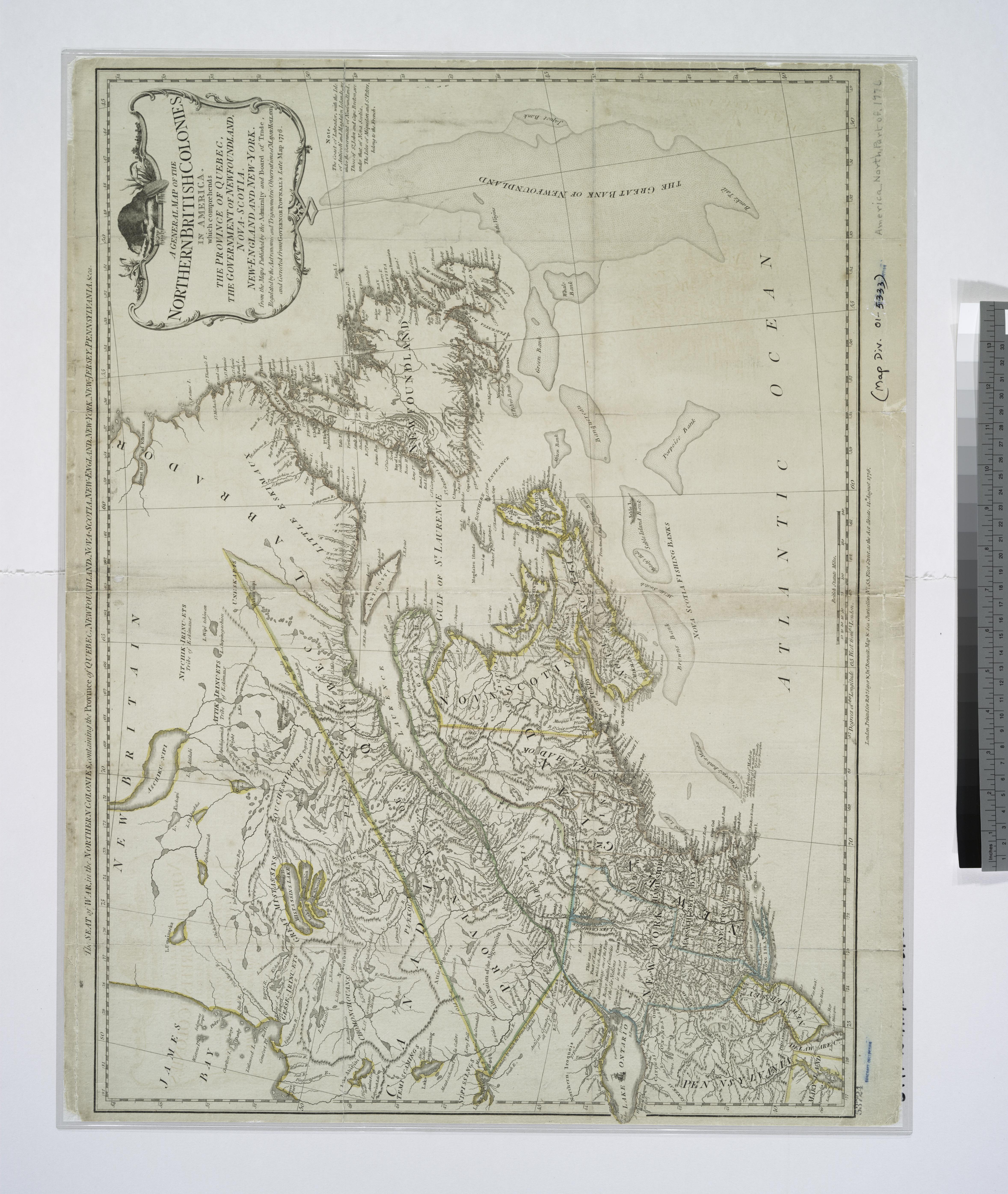
A general map of the northern British colonies in America which comprehends the province of Quebec the government of Newfoundland NovaScotia NewEngland and NewYork from the maps published by NYPL. general map of the northern British colonies in America which comprehends the province of Quebec the government of Newfoundland NovaScotia