
Related Images


Download:
| Tiny | 160x128 | View | Download |
| Small | 321x256 | View | Download |
| Medium | 642x512 | View | Download |
| Large | 1285x1024 | View | Download |
| Original | 9087x7238 | View | Download |
This image was acquired from
wikimedia. It was marked as Public Domain or CC0 and is free to use. To verify, go to the source and check the information there.
Looking for more info about this image?
Try a Google Reverse Image Search for it.
Try a Google Reverse Image Search for it.
Keywords from Image Description:
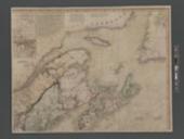
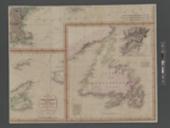
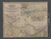
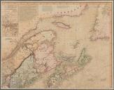
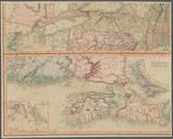
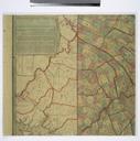
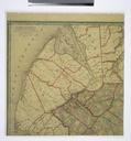
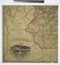
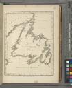
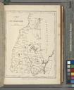
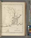
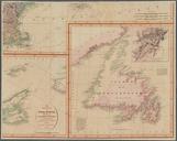
A map of Cabotia NYPL b. en Relief shown by hachures and depths shown by soundings Map borders Include longitude west of Greenwich Ancillary maps The province of NovaScotia with part of NewBrunswick on an enlarged scale principally from surveys made by his majesty's offices and surveyors approximately Island of Newfoundland