Related Images


Download:
| Tiny | 107x128 | View | Download |
| Small | 214x256 | View | Download |
| Medium | 428x512 | View | Download |
| Large | 856x1024 | View | Download |
| Original | 4624x5531 | View | Download |
This image was acquired from
wikimedia. It was marked as Public Domain or CC0 and is free to use. To verify, go to the source and check the information there.
Looking for more info about this image?
Try a Google Reverse Image Search for it.
Try a Google Reverse Image Search for it.
Keywords from Image Description:
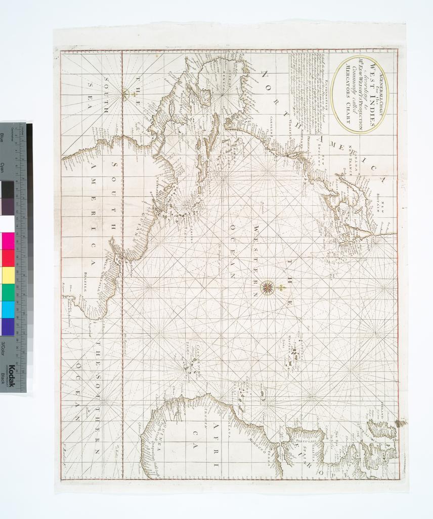
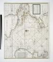
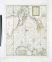
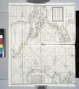
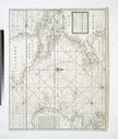
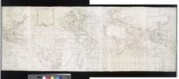
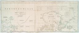
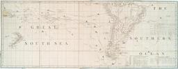
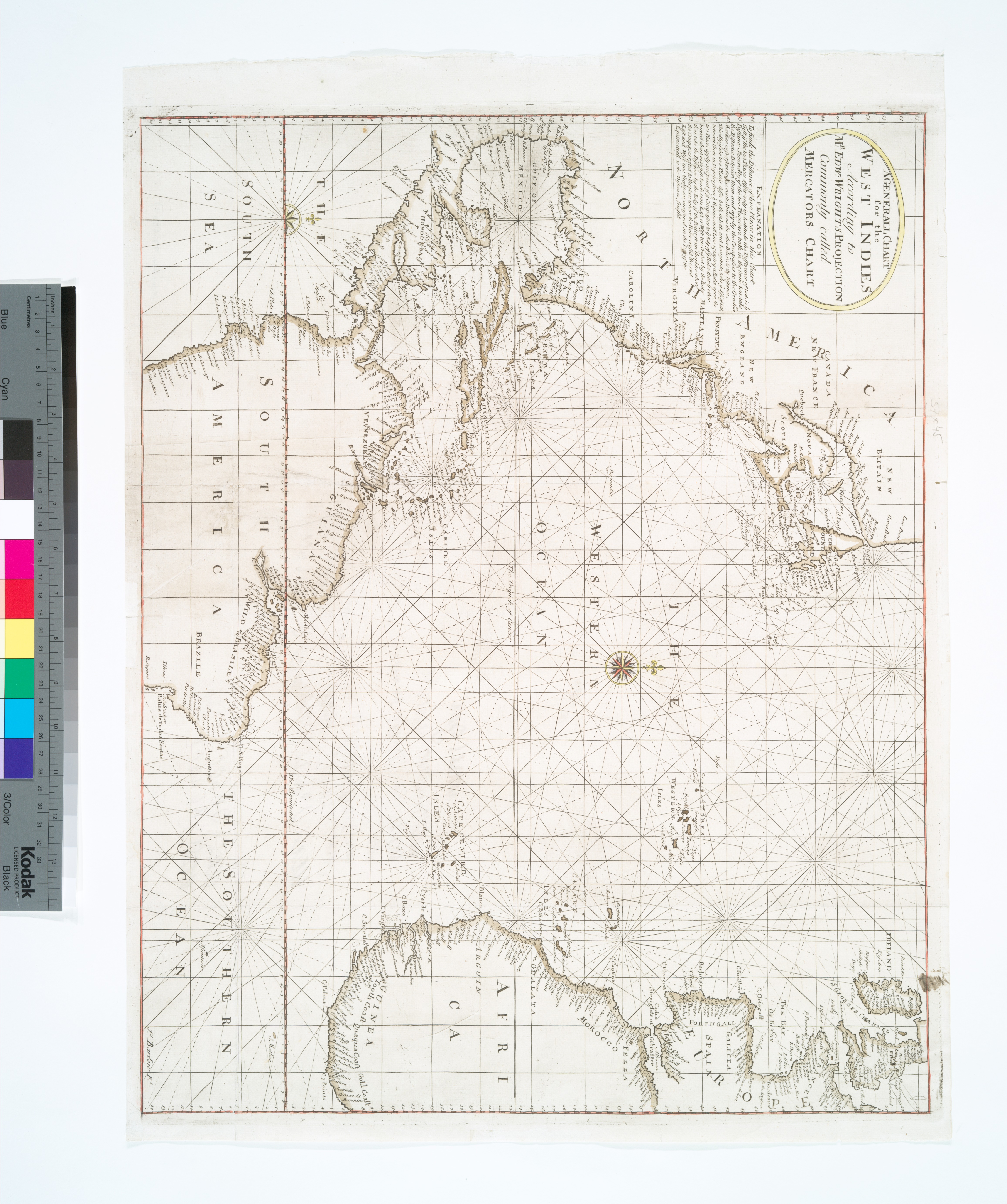
A Generall chart for the West Indies according to Mr. Edw. Wrights projection commonly called Mercators chart NYPL b. en Covers Atlantic Ocean between and Depths shown by soundings Lawrence Slaughter Collection National Endowment for the Humanities Grant for Access to Early Maps of the Middle Atlantic Seaboard nypl org Scan